Baima geodata
Baima (Zhejiang) is a seat of a fourth-order administrative division; located in China in Asia/Shanghai (GMT+8) time zone. In our database, there are 1268 cities with bigger population. Compared to other cities in China, 62.8% of cities are located further ↑North; 74.5% of cities are located further ←West and 68% of cities have lower elevation than Baima. Note1


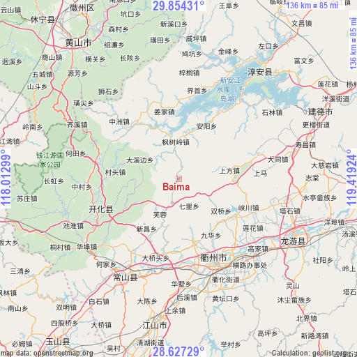
Baima GPS coordinates[2]
29° 14' 33.504" North, 118° 42' 57.996" East
| Map corner | latitude | longitude |
|---|---|---|
| Upper-left | 29.85431°, | 118.01299° |
| Center: | 29.24264°, | 118.71611° |
| Lower-right: | 28.62729°, | 119.41924° |
| Map W x H: | 136.4×136.4 km | = 84.8×84.8mi |
| max Lat: | 53.31946° ⇑62.8% North |
| Baima: | 29.24264° |
| min Lat: | ⇓37.2% South 18.22056° |
| min Long | Baima | max Long |
| 75.07348° | 118.71611° | 134.28917° |
| W 74.5%⇐ | ⇒25.5% E |
Elevation
Elevation of Baima is 377 m = 1237 ft, and this is 107.8 m = 354 ft below average elevation for this country.
| Max E: |
5622 m = 18445 ft | 32% |
| Avg. | 484.8 m = 1591 ft | |
| Baima | 377 m = 1237 ft | |
Min E: |
-3 m = -10 ft | 68% |
See also: China elevation on elevation.city.
Geographical zone
Baima is located in North temperate zone (between Tropic of Cancer and the Arctic Circle). Distance of this Northern Tropic circle is 645.6 km =401.2 mi to South.| Distance of | km | miles | from Baima |
|---|---|---|---|
| North Pole | 6755.6 | 4197.7 | to North |
| Arctic Circle | 4149.7 | 2578.5 | to North |
| Tropic Cancer | 645.6 | 401.2 | to South |
| Equator | 3251.5 | 2020.4 | to South |


Nearby cities:
15 places around Baima: (largest is in red/bold)
• Anyang
22.5 km =14 mi,  28°
28°
• Datou
10.8 km =6.7 mi,  157°
157°
• Dongshan
18 km =11.2 mi,  291°
291°
• Dongshandi
14.7 km =9.1 mi,  206°
206°
• Dongwu
16.4 km =10.2 mi,  266°
266°
• Fengshuling
14 km =8.7 mi,  355°
355°
• Furong
15.4 km =9.6 mi, 209°
• Huanggu
15.7 km =9.8 mi, 285°
• Huipinggeng
13.4 km =8.3 mi,  86°
86°
• Longyuan
21.7 km =13.5 mi,  324°
324°
• Shangfang
19.6 km =12.2 mi,  81°
81°
• Shangyuan
22.5 km =14 mi,  195°
195°
• Shuangqiao
20.3 km =12.6 mi,  126°
126°
• Xiacaoqiao
13.6 km =8.5 mi,  118°
118°
• Xinchang
22.3 km =13.9 mi, 213°
Sources, notices
• [Note1] Compared only with cities in China existing in our database
• [Src1] Map data: © OpenStreetMap contributors (CC-BY-SA)
• [Src2] Other city data from geonames.org with taken over terms of usage.
• [Src3] Geographical zone / Annual Mean Temperature by Robert A. Rohde @ Wikipedia
