Huangpu geodata
Huangpu (Guangdong) is a seat of a fourth-order administrative division; located in China in Asia/Shanghai (GMT+8) time zone. In our database, there are 1268 cities with bigger population. Compared to other cities in China, 84.5% of cities are located further ↑North; 56.5% of cities are located further →East and 64% of cities have lower elevation than Huangpu. Note1


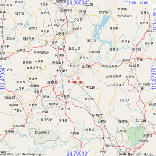
Huangpu GPS coordinates[2]
25° 25' 55.308" North, 113° 10' 25.176" East
| Map corner | latitude | longitude |
|---|---|---|
| Upper-left | 26.06534°, | 112.47054° |
| Center: | 25.43203°, | 113.17366° |
| Lower-right: | 24.79538°, | 113.87679° |
| Map W x H: | 141.2×141.2 km | = 87.7×87.7mi |
| max Lat: | 53.31946° ⇑84.5% North |
| Huangpu: | 25.43203° |
| min Lat: | ⇓15.5% South 18.22056° |
| min Long | Huangpu | max Long |
| 75.07348° | 113.17366° | 134.28917° |
| W 43.5%⇐ | ⇒56.5% E |
Elevation
Elevation of Huangpu is 310 m = 1017 ft, and this is 174.8 m = 573 ft below average elevation for this country.
| Max E: |
5622 m = 18445 ft | 36% |
| Avg. | 484.8 m = 1591 ft | |
| Huangpu | 310 m = 1017 ft | |
Min E: |
-3 m = -10 ft | 64% |
See also: China elevation on elevation.city.
Geographical zone
Huangpu is located in North temperate zone (between Tropic of Cancer and the Arctic Circle). Distance of this Northern Tropic circle is 221.9 km =137.9 mi to South.| Distance of | km | miles | from Huangpu |
|---|---|---|---|
| North Pole | 7179.3 | 4461 | to North |
| Arctic Circle | 4573.4 | 2841.8 | to North |
| Tropic Cancer | 221.9 | 137.9 | to South |
| Equator | 2827.8 | 1757.1 | to South |


Nearby cities:
15 places around Huangpu: (largest is in red/bold)
• Baishi
8.2 km =5.1 mi,  74°
74°
• Beixiang
32.4 km =20.1 mi,  144°
144°
• Dayuan
20.9 km =13 mi,  147°
147°
• Jiufeng
21.4 km =13.3 mi,  115°
115°
• Lecheng
38.2 km =23.7 mi, 152°
• Liangjiang
14.3 km =8.9 mi, 117°
• Meihua
30.1 km =18.7 mi,  199°
199°
• Pingshi
20 km =12.4 mi,  214°
214°
• Qingyun
4.7 km =2.9 mi,  176°
176°
• Sanxi
32.6 km =20.3 mi,  237°
237°
• Shaping
40.8 km =25.4 mi, 199°
• Wushan
36.8 km =22.9 mi, 123°
• Xiushui
34.1 km =21.2 mi, 211°
• Yizhang Chengguanzhen
20.3 km =12.6 mi,  254°
254°
• Yunyan
34.2 km =21.3 mi,  191°
191°
Sources, notices
• [Note1] Compared only with cities in China existing in our database
• [Src1] Map data: © OpenStreetMap contributors (CC-BY-SA)
• [Src2] Other city data from geonames.org with taken over terms of usage.
• [Src3] Geographical zone / Annual Mean Temperature by Robert A. Rohde @ Wikipedia
