Baishi geodata
Baishi (Guangdong) is a seat of a fourth-order administrative division; located in China in Asia/Shanghai (GMT+8) time zone. In our database, there are 1268 cities with bigger population. Compared to other cities in China, 84.4% of cities are located further ↑North; 55.9% of cities are located further →East and 77.7% of cities have lower elevation than Baishi. Note1


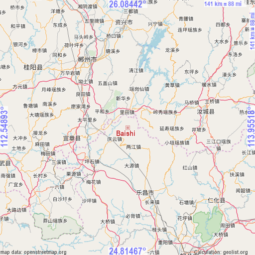
Baishi GPS coordinates[2]
25° 27' 4.392" North, 113° 15' 7.38" East
| Map corner | latitude | longitude |
|---|---|---|
| Upper-left | 26.08442°, | 112.54893° |
| Center: | 25.45122°, | 113.25205° |
| Lower-right: | 24.81467°, | 113.95518° |
| Map W x H: | 141.2×141.2 km | = 87.7×87.7mi |
| max Lat: | 53.31946° ⇑84.4% North |
| Baishi: | 25.45122° |
| min Lat: | ⇓15.6% South 18.22056° |
| min Long | Baishi | max Long |
| 75.07348° | 113.25205° | 134.28917° |
| W 44.1%⇐ | ⇒55.9% E |
Elevation
Elevation of Baishi is 600 m = 1969 ft, and this is 115.2 m = 378 ft above average elevation for this country.
| Max E: |
5622 m = 18445 ft | 22.3% |
| Baishi | 600 m 1969 ft | |
| Avg. | 484.8 m = 1591 ft | |
Min E: |
-3 m = -10 ft | 77.7% |
See also: China elevation on elevation.city.
Geographical zone
Baishi is located in North temperate zone (between Tropic of Cancer and the Arctic Circle). Distance of this Northern Tropic circle is 224 km =139.2 mi to South.| Distance of | km | miles | from Baishi |
|---|---|---|---|
| North Pole | 7177.2 | 4459.7 | to North |
| Arctic Circle | 4571.3 | 2840.5 | to North |
| Tropic Cancer | 224 | 139.2 | to South |
| Equator | 2829.9 | 1758.4 | to South |


Nearby cities:
15 places around Baishi: (largest is in red/bold)
• Beixiang
30.5 km =19 mi,  159°
159°
• Dayuan
20 km =12.4 mi,  169°
169°
• Huangpu
8.2 km =5.1 mi,  254°
254°
• Jiufeng
16.1 km =10 mi,  134°
134°
• Langtian
38.6 km =24 mi,  148°
148°
• Lecheng
37.3 km =23.2 mi, 164°
• Liangjiang
10 km =6.2 mi, 151°
• Meihua
35.4 km =22 mi,  210°
210°
• Pingshi
26.7 km =16.6 mi,  226°
226°
• Qingyun
10.2 km =6.3 mi, 228°
• Sanxi
40.4 km =25.1 mi,  240°
240°
• Wushan
31.9 km =19.8 mi, 134°
• Xiushui
40.4 km =25.1 mi,  219°
219°
• Yizhang Chengguanzhen
28.4 km =17.6 mi, 254°
• Yunyan
38.6 km =24 mi,  202°
202°
Sources, notices
• [Note1] Compared only with cities in China existing in our database
• [Src1] Map data: © OpenStreetMap contributors (CC-BY-SA)
• [Src2] Other city data from geonames.org with taken over terms of usage.
• [Src3] Geographical zone / Annual Mean Temperature by Robert A. Rohde @ Wikipedia
