Baolin geodata
Baolin (Hubei) is a seat of a fourth-order administrative division; located in China in Asia/Shanghai (GMT+8) time zone. In our database, there are 1268 cities with bigger population. Compared to other cities in China, 59.4% of cities are located further ↓South; 52.1% of cities are located further →East and 59.2% of cities have higher elevation than Baolin. Note1


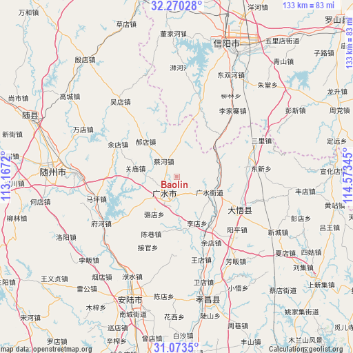
Baolin GPS coordinates[2]
31° 40' 25.752" North, 113° 52' 13.152" East
| Map corner | latitude | longitude |
|---|---|---|
| Upper-left | 32.27028°, | 113.1672° |
| Center: | 31.67382°, | 113.87032° |
| Lower-right: | 31.0735°, | 114.57345° |
| Map W x H: | 133.1×133.1 km | = 82.7×82.7mi |
| max Lat: | 53.31946° ⇑40.6% North |
| Baolin: | 31.67382° |
| min Lat: | ⇓59.4% South 18.22056° |
| min Long | Baolin | max Long |
| 75.07348° | 113.87032° | 134.28917° |
| W 47.9%⇐ | ⇒52.1% E |
Elevation
Elevation of Baolin is 103 m = 338 ft, and this is 381.8 m = 1253 ft below average elevation for this country.
| Max E: |
5622 m = 18445 ft | 59.2% |
| Avg. | 484.8 m = 1591 ft | |
| Baolin | 103 m = 338 ft | |
Min E: |
-3 m = -10 ft | 40.8% |
See also: China elevation on elevation.city.
Geographical zone
Baolin is located in North temperate zone (between Tropic of Cancer and the Arctic Circle). Distance of this Northern Tropic circle is 915.9 km =569.1 mi to South.| Distance of | km | miles | from Baolin |
|---|---|---|---|
| North Pole | 6485.3 | 4029.8 | to North |
| Arctic Circle | 3879.4 | 2410.5 | to North |
| Tropic Cancer | 915.9 | 569.1 | to South |
| Equator | 3521.8 | 2188.3 | to South |


Nearby cities:
15 places around Baolin: (largest is in red/bold)
• Caihe
7.9 km =4.9 mi,  316°
316°
• Chenxiang
23.7 km =14.7 mi,  204°
204°
• Dawu Chengguanzhen
24.5 km =15.2 mi,  106°
106°
• Daxin
27.3 km =17 mi,  78°
78°
• Guangshui
13.5 km =8.4 mi,  116°
116°
• Guanmiao
16 km =9.9 mi,  282°
282°
• Haodian
17.8 km =11.1 mi, 318°
• Luodian
16.5 km =10.3 mi,  211°
211°
• Shili
6.7 km =4.2 mi,  172°
172°
• Taiping
24.8 km =15.4 mi, 168°
• Tanjiahe
26.9 km =16.7 mi,  19°
19°
• Wushengguan
16.1 km =10 mi,  88°
88°
• Xinglong
25 km =15.5 mi, 280°
• Yangzhai
24.4 km =15.2 mi,  145°
145°
• Yudian
25.4 km =15.8 mi,  298°
298°
Sources, notices
• [Note1] Compared only with cities in China existing in our database
• [Src1] Map data: © OpenStreetMap contributors (CC-BY-SA)
• [Src2] Other city data from geonames.org with taken over terms of usage.
• [Src3] Geographical zone / Annual Mean Temperature by Robert A. Rohde @ Wikipedia
