Shili geodata
Shili (Hubei) is a seat of a fourth-order administrative division; located in China in Asia/Shanghai (GMT+8) time zone. In our database, there are 1268 cities with bigger population. Compared to other cities in China, 59.1% of cities are located further ↓South; 52.1% of cities are located further →East and 65.3% of cities have higher elevation than Shili. Note1


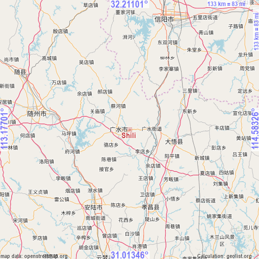
Shili GPS coordinates[2]
31° 36' 50.976" North, 113° 52' 48.468" East
| Map corner | latitude | longitude |
|---|---|---|
| Upper-left | 32.21101°, | 113.17701° |
| Center: | 31.61416°, | 113.88013° |
| Lower-right: | 31.01346°, | 114.58326° |
| Map W x H: | 133.2×133.2 km | = 82.8×82.8mi |
| max Lat: | 53.31946° ⇑40.9% North |
| Shili: | 31.61416° |
| min Lat: | ⇓59.1% South 18.22056° |
| min Long | Shili | max Long |
| 75.07348° | 113.88013° | 134.28917° |
| W 47.9%⇐ | ⇒52.1% E |
Elevation
Elevation of Shili is 71 m = 233 ft, and this is 413.8 m = 1358 ft below average elevation for this country.
| Max E: |
5622 m = 18445 ft | 65.3% |
| Avg. | 484.8 m = 1591 ft | |
| Shili | 71 m = 233 ft | |
Min E: |
-3 m = -10 ft | 34.7% |
See also: China elevation on elevation.city.
Geographical zone
Shili is located in North temperate zone (between Tropic of Cancer and the Arctic Circle). Distance of this Northern Tropic circle is 909.2 km =565 mi to South.| Distance of | km | miles | from Shili |
|---|---|---|---|
| North Pole | 6491.9 | 4033.9 | to North |
| Arctic Circle | 3886 | 2414.6 | to North |
| Tropic Cancer | 909.2 | 565 | to South |
| Equator | 3515.2 | 2184.2 | to South |


Nearby cities:
15 places around Shili: (largest is in red/bold)
• Baolin
6.7 km =4.2 mi,  352°
352°
• Caihe
13.9 km =8.6 mi,  332°
332°
• Chenxiang
18.4 km =11.4 mi,  215°
215°
• Dawu Chengguanzhen
22.5 km =14 mi,  91°
91°
• Guangshui
11.2 km =7 mi, 86°
• Guanmiao
19.4 km =12.1 mi,  301°
301°
• Haodian
23.6 km =14.7 mi, 327°
• Jieguan
23.2 km =14.4 mi,  210°
210°
• Luodian
12.1 km =7.5 mi,  232°
232°
• Taiping
18.1 km =11.2 mi,  167°
167°
• Wangdian
26 km =16.2 mi,  161°
161°
• Wushengguan
16.7 km =10.4 mi,  65°
65°
• Yangping
25.4 km =15.8 mi,  120°
120°
• Yangzhai
18.6 km =11.6 mi,  136°
136°
• Zhaopeng
22.5 km =14 mi,  187°
187°
Sources, notices
• [Note1] Compared only with cities in China existing in our database
• [Src1] Map data: © OpenStreetMap contributors (CC-BY-SA)
• [Src2] Other city data from geonames.org with taken over terms of usage.
• [Src3] Geographical zone / Annual Mean Temperature by Robert A. Rohde @ Wikipedia
