Wangkui geodata
Wangkui (Heilongjiang) is a seat of a third-order administrative division; located in China in Asia/Shanghai (GMT+8) time zone. With population of 69,915 people, there are 616 cities with bigger population in this country. Compared to other cities in China, 96.6% of cities are located further ↓South; 96% of cities are located further ←West and 51.4% of cities have lower elevation than Wangkui. Note1


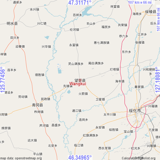
Wangkui GPS coordinates[2]
46° 49' 58.188" North, 126° 28' 39.648" East
| Map corner | latitude | longitude |
|---|---|---|
| Upper-left | 47.31171°, | 125.77456° |
| Center: | 46.83283°, | 126.47768° |
| Lower-right: | 46.34965°, | 127.18081° |
| Map W x H: | 107×107 km | = 66.5×66.5mi |
| max Lat: | 53.31946° ⇑3.4% North |
| Wangkui: | 46.83283° |
| min Lat: | ⇓96.6% South 18.22056° |
| min Long | Wangkui | max Long |
| 75.07348° | 126.47768° | 134.28917° |
| W 96%⇐ | ⇒4% E |
Elevation
Elevation of Wangkui is 176 m = 577 ft, and this is 308.8 m = 1013 ft below average elevation for this country.
| Max E: |
5622 m = 18445 ft | 48.6% |
| Avg. | 484.8 m = 1591 ft | |
| Wangkui | 176 m = 577 ft | |
Min E: |
-3 m = -10 ft | 51.4% |
See also: Wangkui elevation on elevation.city.
Geographical zone
Wangkui is located in North temperate zone (between Tropic of Cancer and the Arctic Circle). Distance of this North polar circle is 2193.9 km =1363.2 mi to North.| Distance of | km | miles | from Wangkui |
|---|---|---|---|
| North Pole | 4799.7 | 2982.4 | to North |
| Arctic Circle | 2193.9 | 1363.2 | to North |
| Tropic Cancer | 2601.4 | 1616.4 | to South |
| Equator | 5207.3 | 3235.7 | to South |


Nearby cities:
15 places around Wangkui: (largest is in red/bold)
• Dengta
24.3 km =15.1 mi,  71°
71°
• Desheng
27.1 km =16.8 mi,  277°
277°
• Haifeng
26.6 km =16.5 mi,  91°
91°
• Housan
14 km =8.7 mi,  316°
316°
• Huiqi
29.1 km =18.1 mi,  30°
30°
• Huojian
9 km =5.6 mi,  167°
167°
• Lianhua
30.7 km =19.1 mi,  55°
55°
• Lingshan
11.4 km =7.1 mi,  346°
346°
• Minzheng
26.3 km =16.3 mi,  241°
241°
• Taipingchuan
30.3 km =18.8 mi,  139°
139°
• Tongjiang
20.2 km =12.6 mi,  186°
186°
• Weixing
18.7 km =11.6 mi,  132°
132°
• Xiangbai
16 km =9.9 mi,  43°
43°
• Xinghua
32 km =19.9 mi, 315°
• Yongfu
24 km =14.9 mi, 350°
Sources, notices
• [Note1] Compared only with cities in China existing in our database
• [Src1] Map data: © OpenStreetMap contributors (CC-BY-SA)
• [Src2] Other city data from geonames.org with taken over terms of usage.
• [Src3] Geographical zone / Annual Mean Temperature by Robert A. Rohde @ Wikipedia
