Yongfu geodata
Yongfu (Heilongjiang) is a seat of a fourth-order administrative division; located in China in Asia/Shanghai (GMT+8) time zone. In our database, there are 1268 cities with bigger population. Compared to other cities in China, 97% of cities are located further ↓South; 96% of cities are located further ←West and 51% of cities have lower elevation than Yongfu. Note1


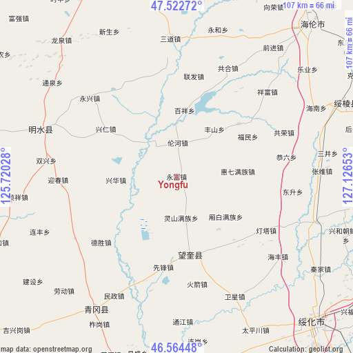
Yongfu GPS coordinates[2]
47° 2' 44.7" North, 126° 25' 24.24" East
| Map corner | latitude | longitude |
|---|---|---|
| Upper-left | 47.52272°, | 125.72028° |
| Center: | 47.04575°, | 126.4234° |
| Lower-right: | 46.56448°, | 127.12653° |
| Map W x H: | 106.5×106.5 km | = 66.2×66.2mi |
| max Lat: | 53.31946° ⇑3% North |
| Yongfu: | 47.04575° |
| min Lat: | ⇓97% South 18.22056° |
| min Long | Yongfu | max Long |
| 75.07348° | 126.4234° | 134.28917° |
| W 96%⇐ | ⇒4% E |
Elevation
Elevation of Yongfu is 173 m = 568 ft, and this is 311.8 m = 1023 ft below average elevation for this country.
| Max E: |
5622 m = 18445 ft | 49% |
| Avg. | 484.8 m = 1591 ft | |
| Yongfu | 173 m = 568 ft | |
Min E: |
-3 m = -10 ft | 51% |
See also: China elevation on elevation.city.
Geographical zone
Yongfu is located in North temperate zone (between Tropic of Cancer and the Arctic Circle). Distance of this North polar circle is 2170.2 km =1348.5 mi to North.| Distance of | km | miles | from Yongfu |
|---|---|---|---|
| North Pole | 4776.1 | 2967.7 | to North |
| Arctic Circle | 2170.2 | 1348.5 | to North |
| Tropic Cancer | 2625.1 | 1631.2 | to South |
| Equator | 5231 | 3250.4 | to South |


Nearby cities:
15 places around Yongfu: (largest is in red/bold)
• Baixiang
19.8 km =12.3 mi,  6°
6°
• Desheng
30.2 km =18.8 mi,  228°
228°
• Fengshan
18.2 km =11.3 mi,  39°
39°
• Fumin
25 km =15.5 mi,  61°
61°
• Haixing
24.5 km =15.2 mi,  49°
49°
• Housan
14.5 km =9 mi,  201°
201°
• Huiqi
18.7 km =11.6 mi,  85°
85°
• Lianhua
29.9 km =18.6 mi,  101°
101°
• Lingshan
12.7 km =7.9 mi,  173°
173°
• Lunhe
10.2 km =6.3 mi,  2°
2°
• Shuren
20 km =12.4 mi,  309°
309°
• Wangkui
24 km =14.9 mi, 170°
• Xiangbai
19.4 km =12.1 mi,  128°
128°
• Xinghua
18.4 km =11.4 mi,  267°
267°
• Xingren
25.7 km =16 mi,  303°
303°
Sources, notices
• [Note1] Compared only with cities in China existing in our database
• [Src1] Map data: © OpenStreetMap contributors (CC-BY-SA)
• [Src2] Other city data from geonames.org with taken over terms of usage.
• [Src3] Geographical zone / Annual Mean Temperature by Robert A. Rohde @ Wikipedia
