Sanchahe geodata
Sanchahe (Jilin) is a seat of a third-order administrative division; located in China in Asia/Shanghai (GMT+8) time zone. In our database, there are 1268 cities with bigger population. Compared to other cities in China, 93.9% of cities are located further ↓South; 95.5% of cities are located further ←West and 54% of cities have lower elevation than Sanchahe. Note1


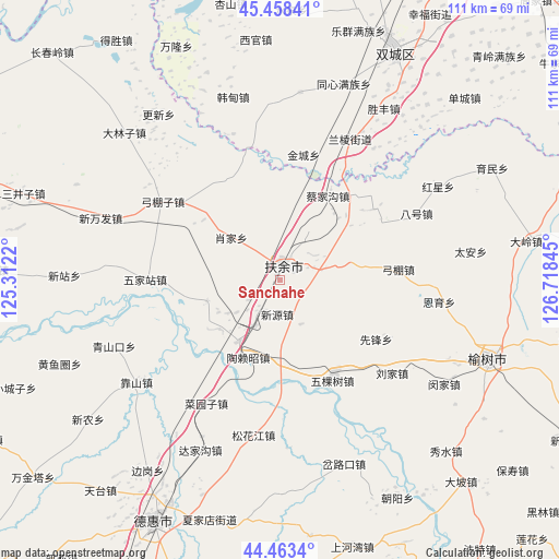
Sanchahe GPS coordinates[2]
44° 57' 47.016" North, 126° 0' 55.152" East
| Map corner | latitude | longitude |
|---|---|---|
| Upper-left | 45.45841°, | 125.3122° |
| Center: | 44.96306°, | 126.01532° |
| Lower-right: | 44.4634°, | 126.71845° |
| Map W x H: | 110.6×110.6 km | = 68.7×68.7mi |
| max Lat: | 53.31946° ⇑6.1% North |
| Sanchahe: | 44.96306° |
| min Lat: | ⇓93.9% South 18.22056° |
| min Long | Sanchahe | max Long |
| 75.07348° | 126.01532° | 134.28917° |
| W 95.5%⇐ | ⇒4.5% E |
Elevation
Elevation of Sanchahe is 197 m = 646 ft, and this is 287.8 m = 944 ft below average elevation for this country.
| Max E: |
5622 m = 18445 ft | 46% |
| Avg. | 484.8 m = 1591 ft | |
| Sanchahe | 197 m = 646 ft | |
Min E: |
-3 m = -10 ft | 54% |
See also: China elevation on elevation.city.
Geographical zone
Sanchahe is located in North temperate zone (between Tropic of Cancer and the Arctic Circle). Distance of this Northern Tropic circle is 2393.5 km =1487.3 mi to South.| Distance of | km | miles | from Sanchahe |
|---|---|---|---|
| North Pole | 5007.6 | 3111.6 | to North |
| Arctic Circle | 2401.8 | 1492.4 | to North |
| Tropic Cancer | 2393.5 | 1487.3 | to South |
| Equator | 4999.4 | 3106.5 | to South |


Nearby cities:
15 places around Sanchahe: (largest is in red/bold)
• Anjia
83.3 km =51.8 mi,  83°
83°
• Bajiazi
85.8 km =53.3 mi,  69°
69°
• Beiyinhe
80.6 km =50.1 mi, 73°
• Dehui
53.9 km =33.5 mi,  207°
207°
• Jiutai
91.3 km =56.7 mi,  189°
189°
• Minyue
81.8 km =50.8 mi, 83°
• Qingshan
70.9 km =44.1 mi, 78°
• Shuangcheng
47.9 km =29.8 mi,  26°
26°
• Shuangfeng
91.6 km =56.9 mi,  54°
54°
• Wuchang
89.5 km =55.6 mi,  93°
93°
• Xinglong
78.9 km =49 mi,  61°
61°
• Yanhe
73.1 km =45.4 mi, 76°
• Yingchengzi
77.3 km =48 mi, 72°
• Yushu
44.7 km =27.8 mi,  113°
113°
• Zhaoyuan
91.3 km =56.7 mi,  310°
310°
In other languages:
- In Chinese: Shih-t’ou-ch’eng, San-ho-ch’a, Shih-t’ou-ch’eng-tzu, San-ch’a-ho, San-ch’a-ho-chieh, 三岔河
Sources, notices
• [Note1] Compared only with cities in China existing in our database
• [Src1] Map data: © OpenStreetMap contributors (CC-BY-SA)
• [Src2] Other city data from geonames.org with taken over terms of usage.
• [Src3] Geographical zone / Annual Mean Temperature by Robert A. Rohde @ Wikipedia
