Oupu geodata
Oupu (Heilongjiang) is a seat of a fourth-order administrative division; located in China in Asia/Shanghai (GMT+8) time zone. In our database, there are 1268 cities with bigger population. Compared to other cities in China, 100% of cities are located further ↓South; 95.6% of cities are located further ←West and 55.2% of cities have lower elevation than Oupu. Note1


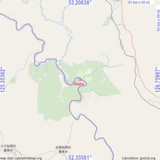
Oupu GPS coordinates[2]
52° 46' 59.376" North, 126° 3' 24.264" East
| Map corner | latitude | longitude |
|---|---|---|
| Upper-left | 53.20636°, | 125.35362° |
| Center: | 52.78316°, | 126.05674° |
| Lower-right: | 52.35581°, | 126.75987° |
| Map W x H: | 94.6×94.6 km | = 58.8×58.8mi |
| max Lat: | 53.31946° ⇑0% North |
| Oupu: | 52.78316° |
| min Lat: | ⇓100% South 18.22056° |
| min Long | Oupu | max Long |
| 75.07348° | 126.05674° | 134.28917° |
| W 95.6%⇐ | ⇒4.4% E |
Elevation
Elevation of Oupu is 208 m = 682 ft, and this is 276.8 m = 908 ft below average elevation for this country.
| Max E: |
5622 m = 18445 ft | 44.8% |
| Avg. | 484.8 m = 1591 ft | |
| Oupu | 208 m = 682 ft | |
Min E: |
-3 m = -10 ft | 55.2% |
See also: China elevation on elevation.city.
Geographical zone
Oupu is located in North temperate zone (between Tropic of Cancer and the Arctic Circle). Distance of this North polar circle is 1532.2 km =952.1 mi to North.| Distance of | km | miles | from Oupu |
|---|---|---|---|
| North Pole | 4138.1 | 2571.3 | to North |
| Arctic Circle | 1532.2 | 952.1 | to North |
| Tropic Cancer | 3263 | 2027.5 | to South |
| Equator | 5868.9 | 3646.8 | to South |


Nearby cities:
15 places around Oupu: (largest is in red/bold)
• Baiyinna
42.6 km =26.5 mi,  194°
194°
• Bishui
177.6 km =110.4 mi,  245°
245°
• Bizhou
136.2 km =84.6 mi,  226°
226°
• Cuigang
123.8 km =76.9 mi, 228°
• Dawusu
151.3 km =94 mi,  223°
223°
• Hanjiayuan
83 km =51.6 mi,  195°
195°
• Hongtu
183.1 km =113.8 mi, 225°
• Hongwei
186.2 km =115.7 mi,  241°
241°
• Jinshan
77.2 km =48 mi,  156°
156°
• Khuma
124.9 km =77.6 mi, 161°
• Linhai
175.7 km =109.2 mi, 221°
• Tahe
102.5 km =63.7 mi, 240°
• Targen
109.4 km =68 mi, 236°
• Xinghua
72.6 km =45.1 mi,  182°
182°
• Xinlin
168.1 km =104.5 mi, 224°
Sources, notices
• [Note1] Compared only with cities in China existing in our database
• [Src1] Map data: © OpenStreetMap contributors (CC-BY-SA)
• [Src2] Other city data from geonames.org with taken over terms of usage.
• [Src3] Geographical zone / Annual Mean Temperature by Robert A. Rohde @ Wikipedia
