Khuma geodata
Khuma (Heilongjiang) is a seat of a third-order administrative division; located in China in Asia/Shanghai (GMT+8) time zone. In our database, there are 1268 cities with bigger population. Compared to other cities in China, 99.9% of cities are located further ↓South; 96.2% of cities are located further ←West and 51.1% of cities have lower elevation than Khuma. Note1


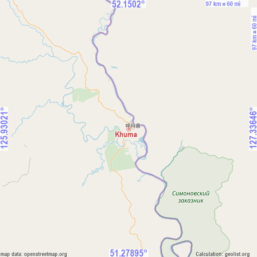
Khuma GPS coordinates[2]
51° 43' 0.012" North, 126° 37' 59.988" East
| Map corner | latitude | longitude |
|---|---|---|
| Upper-left | 52.1502°, | 125.93021° |
| Center: | 51.71667°, | 126.63333° |
| Lower-right: | 51.27895°, | 127.33646° |
| Map W x H: | 96.9×96.9 km | = 60.2×60.2mi |
| max Lat: | 53.31946° ⇑0.1% North |
| Khuma: | 51.71667° |
| min Lat: | ⇓99.9% South 18.22056° |
| min Long | Khuma | max Long |
| 75.07348° | 126.63333° | 134.28917° |
| W 96.2%⇐ | ⇒3.8% E |
Elevation
Elevation of Khuma is 174 m = 571 ft, and this is 310.8 m = 1020 ft below average elevation for this country.
| Max E: |
5622 m = 18445 ft | 48.9% |
| Avg. | 484.8 m = 1591 ft | |
| Khuma | 174 m = 571 ft | |
Min E: |
-3 m = -10 ft | 51.1% |
See also: China elevation on elevation.city.
Geographical zone
Khuma is located in North temperate zone (between Tropic of Cancer and the Arctic Circle). Distance of this North polar circle is 1650.8 km =1025.8 mi to North.| Distance of | km | miles | from Khuma |
|---|---|---|---|
| North Pole | 4256.7 | 2645 | to North |
| Arctic Circle | 1650.8 | 1025.8 | to North |
| Tropic Cancer | 3144.4 | 1953.8 | to South |
| Equator | 5750.4 | 3573.1 | to South |


Nearby cities:
15 places around Khuma: (largest is in red/bold)
• Baiyinna
92.1 km =57.2 mi,  327°
327°
• Beijiang
84.3 km =52.4 mi,  206°
206°
• Bizhou
142.2 km =88.4 mi,  280°
280°
• Cuigang
137.8 km =85.6 mi,  285°
285°
• Dawusu
145.9 km =90.7 mi,  273°
273°
• Hanjiayuan
72.9 km =45.3 mi,  301°
301°
• Jinshan
48.5 km =30.1 mi,  349°
349°
• Oupu
124.9 km =77.6 mi,  341°
341°
• Sanka
65.7 km =40.8 mi,  163°
163°
• Tahe
147 km =91.3 mi, 297°
• Targen
144.2 km =89.6 mi, 293°
• Xifengshan
130.2 km =80.9 mi,  169°
169°
• Xinghua
62.5 km =38.8 mi,  317°
317°
• Xinsheng Elunchunzu
134.6 km =83.6 mi,  175°
175°
• Zhangdiyingzi
138.8 km =86.2 mi, 159°
Sources, notices
• [Note1] Compared only with cities in China existing in our database
• [Src1] Map data: © OpenStreetMap contributors (CC-BY-SA)
• [Src2] Other city data from geonames.org with taken over terms of usage.
• [Src3] Geographical zone / Annual Mean Temperature by Robert A. Rohde @ Wikipedia
