Baishishan geodata
Baishishan (Jilin) is a populated place; located in China in Asia/Shanghai (GMT+8) time zone. With population of 56,992 people, there are 770 cities with bigger population in this country. Compared to other cities in China, 92.4% of cities are located further ↓South; 97.7% of cities are located further ←West and 66.3% of cities have lower elevation than Baishishan. Note1


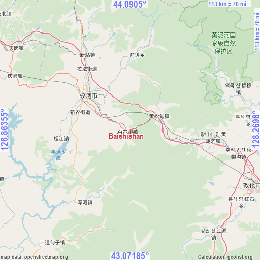
Baishishan GPS coordinates[2]
43° 34' 59.988" North, 127° 34' 0.012" East
| Map corner | latitude | longitude |
|---|---|---|
| Upper-left | 44.0905°, | 126.86355° |
| Center: | 43.58333°, | 127.56667° |
| Lower-right: | 43.07185°, | 128.2698° |
| Map W x H: | 113.3×113.3 km | = 70.4×70.4mi |
| max Lat: | 53.31946° ⇑7.6% North |
| Baishishan: | 43.58333° |
| min Lat: | ⇓92.4% South 18.22056° |
| min Long | Baishishan | max Long |
| 75.07348° | 127.56667° | 134.28917° |
| W 97.7%⇐ | ⇒2.3% E |
Elevation
Elevation of Baishishan is 348 m = 1142 ft, and this is 136.8 m = 449 ft below average elevation for this country.
| Max E: |
5622 m = 18445 ft | 33.7% |
| Avg. | 484.8 m = 1591 ft | |
| Baishishan | 348 m = 1142 ft | |
Min E: |
-3 m = -10 ft | 66.3% |
See also: Baishishan elevation on elevation.city.
Geographical zone
Baishishan is located in North temperate zone (between Tropic of Cancer and the Arctic Circle). Distance of this Northern Tropic circle is 2240.1 km =1391.9 mi to South.| Distance of | km | miles | from Baishishan |
|---|---|---|---|
| North Pole | 5161 | 3206.9 | to North |
| Arctic Circle | 2555.2 | 1587.7 | to North |
| Tropic Cancer | 2240.1 | 1391.9 | to South |
| Equator | 4846 | 3011.2 | to South |


Nearby cities:
15 places around Baishishan: (largest is in red/bold)
• Dapuchaihe
86.8 km =53.9 mi,  154°
154°
• Dashitou
82.2 km =51.1 mi,  111°
111°
• Dunhua
59.4 km =36.9 mi, 113°
• Erdaocha
79.9 km =49.6 mi,  184°
184°
• Erdaodianzi
59.8 km =37.2 mi,  214°
214°
• Gongji
85.5 km =53.1 mi,  220°
220°
• Hongshi
79.3 km =49.3 mi, 208°
• Huangnihe
36.9 km =22.9 mi,  94°
94°
• Jilin
86.2 km =53.6 mi,  290°
290°
• Jiujianfang
89.7 km =55.7 mi, 219°
• Kouqian
89.5 km =55.6 mi,  273°
273°
• Laojinchang
77.1 km =47.9 mi,  192°
192°
• Minzhu
24.2 km =15 mi,  309°
309°
• Xin’an
77.6 km =48.2 mi,  348°
348°
• Yushugou
60.2 km =37.4 mi,  357°
357°
Sources, notices
• [Note1] Compared only with cities in China existing in our database
• [Src1] Map data: © OpenStreetMap contributors (CC-BY-SA)
• [Src2] Other city data from geonames.org with taken over terms of usage.
• [Src3] Geographical zone / Annual Mean Temperature by Robert A. Rohde @ Wikipedia
