Jilin geodata
Jilin is a populated place; located in China in Asia/Shanghai (GMT+8) time zone. With population of 1,881,977 people, there are 44 cities with bigger population in this country. Compared to other cities in China, 92.6% of cities are located further ↓South; 96.1% of cities are located further ←West and 53.8% of cities have lower elevation than Jilin. Note1


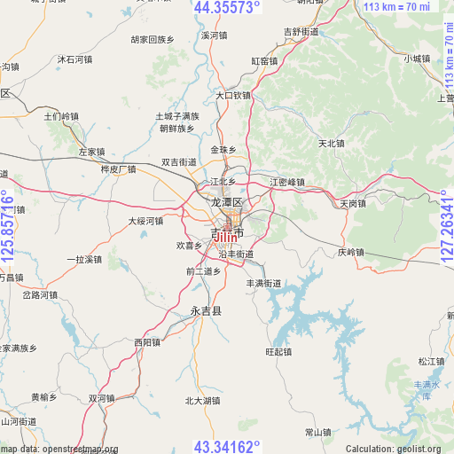
Jilin GPS coordinates[2]
43° 51' 2.988" North, 126° 33' 37.008" East
| Map corner | latitude | longitude |
|---|---|---|
| Upper-left | 44.35573°, | 125.85716° |
| Center: | 43.85083°, | 126.56028° |
| Lower-right: | 43.34162°, | 127.26341° |
| Map W x H: | 112.8×112.8 km | = 70.1×70.1mi |
| max Lat: | 53.31946° ⇑7.4% North |
| Jilin: | 43.85083° |
| min Lat: | ⇓92.6% South 18.22056° |
| min Long | Jilin | max Long |
| 75.07348° | 126.56028° | 134.28917° |
| W 96.1%⇐ | ⇒3.9% E |
Elevation
Elevation of Jilin is 196 m = 643 ft, and this is 288.8 m = 948 ft below average elevation for this country.
| Max E: |
5622 m = 18445 ft | 46.2% |
| Avg. | 484.8 m = 1591 ft | |
| Jilin | 196 m = 643 ft | |
Min E: |
-3 m = -10 ft | 53.8% |
See also: Jilin elevation on elevation.city.
Geographical zone
Jilin is located in North temperate zone (between Tropic of Cancer and the Arctic Circle). Distance of this Northern Tropic circle is 2269.8 km =1410.4 mi to South.| Distance of | km | miles | from Jilin |
|---|---|---|---|
| North Pole | 5131.3 | 3188.4 | to North |
| Arctic Circle | 2525.4 | 1569.2 | to North |
| Tropic Cancer | 2269.8 | 1410.4 | to South |
| Equator | 4875.8 | 3029.7 | to South |


Nearby cities:
15 places around Jilin: (largest is in red/bold)
• Baishishan
86.2 km =53.6 mi,  110°
110°
• Changchun
99.3 km =61.7 mi,  271°
271°
• Erdaodianzi
91.7 km =57 mi,  149°
149°
• Gongji
98.7 km =61.3 mi,  164°
164°
• Jishu
55.2 km =34.3 mi,  20°
20°
• Jiutai
67.2 km =41.8 mi,  299°
299°
• Kouqian
24.9 km =15.5 mi,  199°
199°
• Minzhu
63.8 km =39.6 mi,  103°
103°
• Qingsong
89.3 km =55.5 mi,  45°
45°
• Shuangyang
80 km =49.7 mi,  243°
243°
• Shulan
70.2 km =43.6 mi,  26°
26°
• Xinglongshan
88.4 km =54.9 mi,  277°
277°
• Xin’an
79.2 km =49.2 mi, 54°
• Yantongshan
76.4 km =47.5 mi,  215°
215°
• Yushugou
83.4 km =51.8 mi,  68°
68°
Sources, notices
• [Note1] Compared only with cities in China existing in our database
• [Src1] Map data: © OpenStreetMap contributors (CC-BY-SA)
• [Src2] Other city data from geonames.org with taken over terms of usage.
• [Src3] Geographical zone / Annual Mean Temperature by Robert A. Rohde @ Wikipedia
