Changling geodata
Changling (Beijing) is a seat of a fourth-order administrative division; located in China in Asia/Shanghai (GMT+8) time zone. In our database, there are 1268 cities with bigger population. Compared to other cities in China, 87.5% of cities are located further ↓South; 61.5% of cities are located further ←West and 53.4% of cities have higher elevation than Changling. Note1


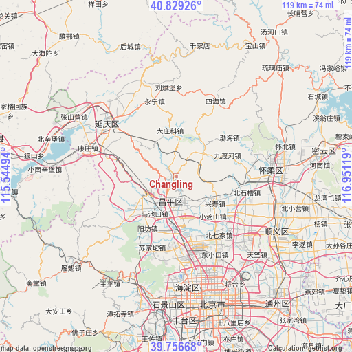
Changling GPS coordinates[2]
40° 17' 42.36" North, 116° 14' 53.016" East
| Map corner | latitude | longitude |
|---|---|---|
| Upper-left | 40.82926°, | 115.54494° |
| Center: | 40.2951°, | 116.24806° |
| Lower-right: | 39.75668°, | 116.95119° |
| Map W x H: | 119.3×119.3 km | = 74.1×74.1mi |
| max Lat: | 53.31946° ⇑12.5% North |
| Changling: | 40.2951° |
| min Lat: | ⇓87.5% South 18.22056° |
| min Long | Changling | max Long |
| 75.07348° | 116.24806° | 134.28917° |
| W 61.5%⇐ | ⇒38.5% E |
Elevation
Elevation of Changling is 141 m = 463 ft, and this is 343.8 m = 1128 ft below average elevation for this country.
| Max E: |
5622 m = 18445 ft | 53.4% |
| Avg. | 484.8 m = 1591 ft | |
| Changling | 141 m = 463 ft | |
Min E: |
-3 m = -10 ft | 46.6% |
See also: China elevation on elevation.city.
Geographical zone
Changling is located in North temperate zone (between Tropic of Cancer and the Arctic Circle). Distance of this Northern Tropic circle is 1874.5 km =1164.8 mi to South.| Distance of | km | miles | from Changling |
|---|---|---|---|
| North Pole | 5526.7 | 3434.1 | to North |
| Arctic Circle | 2920.8 | 1814.9 | to North |
| Tropic Cancer | 1874.5 | 1164.8 | to South |
| Equator | 4480.4 | 2784 | to South |


Nearby cities:
15 places around Changling: (largest is in red/bold)
• Changping
8.9 km =5.5 mi,  187°
187°
• Chengbei
8 km =5 mi,  181°
181°
• Chengnan
9.8 km =6.1 mi, 189°
• Cuicun
12.2 km =7.6 mi,  133°
133°
• Dazhuangke
15.7 km =9.8 mi,  352°
352°
• Jiuduhe
19.5 km =12.1 mi,  67°
67°
• Liucun
21.1 km =13.1 mi,  228°
228°
• Machikou
14.5 km =9 mi,  210°
210°
• Nankou
12.4 km =7.7 mi,  237°
237°
• Nanshao
10.3 km =6.4 mi,  164°
164°
• Shahe
19.1 km =11.9 mi, 176°
• Shisanling
3.4 km =2.1 mi,  215°
215°
• Xiaotangshan
17.5 km =10.9 mi,  138°
138°
• Xingshou
15.8 km =9.8 mi,  121°
121°
• Yangfang
20.1 km =12.5 mi, 210°
Sources, notices
• [Note1] Compared only with cities in China existing in our database
• [Src1] Map data: © OpenStreetMap contributors (CC-BY-SA)
• [Src2] Other city data from geonames.org with taken over terms of usage.
• [Src3] Geographical zone / Annual Mean Temperature by Robert A. Rohde @ Wikipedia
