Kehe geodata
Kehe (Sichuan) is a seat of a fourth-order administrative division; located in China in Asia/Shanghai (GMT+8) time zone. In our database, there are 1268 cities with bigger population. Compared to other cities in China, 64.4% of cities are located further ↓South; 93.5% of cities are located further →East and 97% of cities have lower elevation than Kehe. Note1


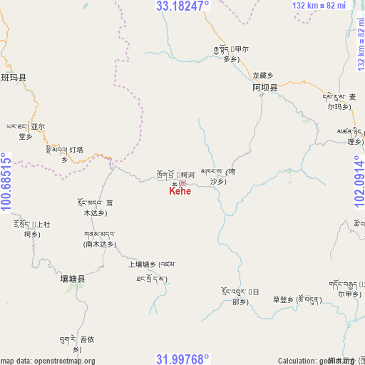
Kehe GPS coordinates[2]
32° 35' 31.308" North, 101° 23' 17.772" East
| Map corner | latitude | longitude |
|---|---|---|
| Upper-left | 33.18247°, | 100.68515° |
| Center: | 32.59203°, | 101.38827° |
| Lower-right: | 31.99768°, | 102.0914° |
| Map W x H: | 131.7×131.7 km | = 81.8×81.8mi |
| max Lat: | 53.31946° ⇑35.6% North |
| Kehe: | 32.59203° |
| min Lat: | ⇓64.4% South 18.22056° |
| min Long | Kehe | max Long |
| 75.07348° | 101.38827° | 134.28917° |
| W 6.5%⇐ | ⇒93.5% E |
Elevation
Elevation of Kehe is 3076 m = 10092 ft, and this is 2591.2 m = 8501 ft above average elevation for this country.
| Max E: |
5622 m = 18445 ft | 3% |
| Kehe | 3076 m 10092 ft | |
| Avg. | 484.8 m = 1591 ft | |
Min E: |
-3 m = -10 ft | 97% |
See also: China elevation on elevation.city.
Geographical zone
Kehe is located in North temperate zone (between Tropic of Cancer and the Arctic Circle). Distance of this Northern Tropic circle is 1018 km =632.6 mi to South.| Distance of | km | miles | from Kehe |
|---|---|---|---|
| North Pole | 6383.2 | 3966.3 | to North |
| Arctic Circle | 3777.3 | 2347.1 | to North |
| Tropic Cancer | 1018 | 632.6 | to South |
| Equator | 3623.9 | 2251.8 | to South |


Nearby cities:
15 places around Kehe: (largest is in red/bold)
• Aba
45.9 km =28.5 mi,  40°
40°
• Andou
47.9 km =29.8 mi,  18°
18°
• Dege
43.3 km =26.9 mi,  31°
31°
• Dimda
43.9 km =27.3 mi,  284°
284°
• Gemo
49.8 km =30.9 mi, 24°
• Hezhi
43.1 km =26.8 mi, 34°
• Jiangritang
68.1 km =42.3 mi,  302°
302°
• Jia’erduo
50 km =31.1 mi, 20°
• Kuasha
12.9 km =8 mi,  78°
78°
• Longcang
48.7 km =30.3 mi, 37°
• Maikun
49.3 km =30.6 mi, 44°
• Rong’an
21 km =13 mi,  109°
109°
• Sailaitang
71.8 km =44.6 mi, 302°
• Wa’erma
48.2 km =30 mi, 40°
• Yartang
59.7 km =37.1 mi,  288°
288°
Sources, notices
• [Note1] Compared only with cities in China existing in our database
• [Src1] Map data: © OpenStreetMap contributors (CC-BY-SA)
• [Src2] Other city data from geonames.org with taken over terms of usage.
• [Src3] Geographical zone / Annual Mean Temperature by Robert A. Rohde @ Wikipedia
