Songfengshan geodata
Songfengshan (Heilongjiang) is a seat of a fourth-order administrative division; located in China in Asia/Shanghai (GMT+8) time zone. In our database, there are 1268 cities with bigger population. Compared to other cities in China, 94.3% of cities are located further ↓South; 97.4% of cities are located further ←West and 59.2% of cities have lower elevation than Songfengshan. Note1


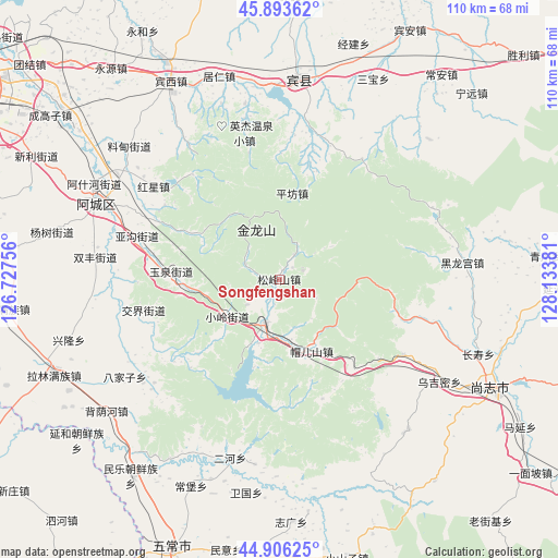
Songfengshan GPS coordinates[2]
45° 24' 7.524" North, 127° 25' 50.448" East
| Map corner | latitude | longitude |
|---|---|---|
| Upper-left | 45.89362°, | 126.72756° |
| Center: | 45.40209°, | 127.43068° |
| Lower-right: | 44.90625°, | 128.13381° |
| Map W x H: | 109.8×109.8 km | = 68.2×68.2mi |
| max Lat: | 53.31946° ⇑5.7% North |
| Songfengshan: | 45.40209° |
| min Lat: | ⇓94.3% South 18.22056° |
| min Long | Songfengshan | max Long |
| 75.07348° | 127.43068° | 134.28917° |
| W 97.4%⇐ | ⇒2.6% E |
Elevation
Elevation of Songfengshan is 250 m = 820 ft, and this is 234.8 m = 770 ft below average elevation for this country.
| Max E: |
5622 m = 18445 ft | 40.8% |
| Avg. | 484.8 m = 1591 ft | |
| Songfengshan | 250 m = 820 ft | |
Min E: |
-3 m = -10 ft | 59.2% |
See also: China elevation on elevation.city.
Geographical zone
Songfengshan is located in North temperate zone (between Tropic of Cancer and the Arctic Circle). Distance of this North polar circle is 2352.9 km =1462 mi to North.| Distance of | km | miles | from Songfengshan |
|---|---|---|---|
| North Pole | 4958.8 | 3081.3 | to North |
| Arctic Circle | 2352.9 | 1462 | to North |
| Tropic Cancer | 2442.3 | 1517.6 | to South |
| Equator | 5048.2 | 3136.8 | to South |


Nearby cities:
15 places around Songfengshan: (largest is in red/bold)
• Ashihe
38.6 km =24 mi,  292°
292°
• Bajiazi
36 km =22.4 mi,  237°
237°
• Daling
27.4 km =17 mi,  295°
295°
• Erhe
36.9 km =22.9 mi,  194°
194°
• Heilonggong
36.6 km =22.7 mi,  84°
84°
• Hongxing
30.8 km =19.1 mi,  306°
306°
• Jiaojie
27.4 km =17 mi,  257°
257°
• Mao’ershan
15.2 km =9.4 mi,  158°
158°
• Pingfang
17.1 km =10.6 mi,  8°
8°
• Pingshan
9.2 km =5.7 mi,  196°
196°
• Shuangfeng
36.5 km =22.7 mi,  276°
276°
• Wujimi
37.7 km =23.4 mi,  122°
122°
• Xiaoling
12.2 km =7.6 mi,  233°
233°
• Yagou
28.8 km =17.9 mi, 287°
• Yuquan
21.2 km =13.2 mi,  272°
272°
Sources, notices
• [Note1] Compared only with cities in China existing in our database
• [Src1] Map data: © OpenStreetMap contributors (CC-BY-SA)
• [Src2] Other city data from geonames.org with taken over terms of usage.
• [Src3] Geographical zone / Annual Mean Temperature by Robert A. Rohde @ Wikipedia
