Heilonggong geodata
Heilonggong (Heilongjiang) is a seat of a fourth-order administrative division; located in China in Asia/Shanghai (GMT+8) time zone. In our database, there are 1268 cities with bigger population. Compared to other cities in China, 94.3% of cities are located further ↓South; 97.9% of cities are located further ←West and 57.9% of cities have lower elevation than Heilonggong. Note1


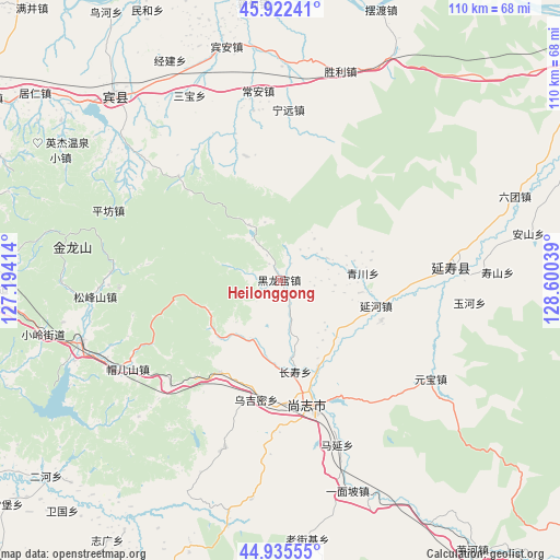
Heilonggong GPS coordinates[2]
45° 25' 52.104" North, 127° 53' 50.136" East
| Map corner | latitude | longitude |
|---|---|---|
| Upper-left | 45.92241°, | 127.19414° |
| Center: | 45.43114°, | 127.89726° |
| Lower-right: | 44.93555°, | 128.60039° |
| Map W x H: | 109.7×109.7 km | = 68.2×68.2mi |
| max Lat: | 53.31946° ⇑5.7% North |
| Heilonggong: | 45.43114° |
| min Lat: | ⇓94.3% South 18.22056° |
| min Long | Heilonggong | max Long |
| 75.07348° | 127.89726° | 134.28917° |
| W 97.9%⇐ | ⇒2.1% E |
Elevation
Elevation of Heilonggong is 235 m = 771 ft, and this is 249.8 m = 820 ft below average elevation for this country.
| Max E: |
5622 m = 18445 ft | 42.1% |
| Avg. | 484.8 m = 1591 ft | |
| Heilonggong | 235 m = 771 ft | |
Min E: |
-3 m = -10 ft | 57.9% |
See also: China elevation on elevation.city.
Geographical zone
Heilonggong is located in North temperate zone (between Tropic of Cancer and the Arctic Circle). Distance of this North polar circle is 2349.7 km =1460 mi to North.| Distance of | km | miles | from Heilonggong |
|---|---|---|---|
| North Pole | 4955.6 | 3079.3 | to North |
| Arctic Circle | 2349.7 | 1460 | to North |
| Tropic Cancer | 2445.6 | 1519.6 | to South |
| Equator | 5051.5 | 3138.9 | to South |


Nearby cities:
15 places around Heilonggong: (largest is in red/bold)
• Changshou
18.2 km =11.3 mi,  171°
171°
• Chang’an
37.2 km =23.1 mi,  352°
352°
• Guang’en
24.9 km =15.5 mi, 345°
• Hedong
22 km =13.7 mi,  151°
151°
• Mao’ershan
35.3 km =21.9 mi,  240°
240°
• Ningyuan
33.4 km =20.8 mi,  2°
2°
• Pingfang
36.4 km =22.6 mi,  292°
292°
• Qingchuan
16.3 km =10.1 mi,  84°
84°
• Shangzhi
24.9 km =15.5 mi, 165°
• Songfengshan
36.6 km =22.7 mi,  264°
264°
• Wujimi
24.1 km =15 mi,  191°
191°
• Yanhe
19.3 km =12 mi,  104°
104°
• Yanshou
33.6 km =20.9 mi,  85°
85°
• Yuanbao
35.2 km =21.9 mi,  123°
123°
• Yuhe
37.1 km =23.1 mi, 96°
Sources, notices
• [Note1] Compared only with cities in China existing in our database
• [Src1] Map data: © OpenStreetMap contributors (CC-BY-SA)
• [Src2] Other city data from geonames.org with taken over terms of usage.
• [Src3] Geographical zone / Annual Mean Temperature by Robert A. Rohde @ Wikipedia
