Chengzi geodata
Chengzi (Jiangxi) is a seat of a fourth-order administrative division; located in China in Asia/Shanghai (GMT+8) time zone. In our database, there are 1268 cities with bigger population. Compared to other cities in China, 55.9% of cities are located further ↑North; 58% of cities are located further ←West and 79.8% of cities have higher elevation than Chengzi. Note1


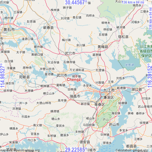
Chengzi GPS coordinates[2]
29° 50' 15.432" North, 115° 41' 18.204" East
| Map corner | latitude | longitude |
|---|---|---|
| Upper-left | 30.44567°, | 114.98527° |
| Center: | 29.83762°, | 115.68839° |
| Lower-right: | 29.22585°, | 116.39152° |
| Map W x H: | 135.6×135.6 km | = 84.3×84.3mi |
| max Lat: | 53.31946° ⇑55.9% North |
| Chengzi: | 29.83762° |
| min Lat: | ⇓44.1% South 18.22056° |
| min Long | Chengzi | max Long |
| 75.07348° | 115.68839° | 134.28917° |
| W 58%⇐ | ⇒42% E |
Elevation
Elevation of Chengzi is 27 m = 89 ft, and this is 457.8 m = 1502 ft below average elevation for this country.
| Max E: |
5622 m = 18445 ft | 79.8% |
| Avg. | 484.8 m = 1591 ft | |
| Chengzi | 27 m = 89 ft | |
Min E: |
-3 m = -10 ft | 20.2% |
See also: China elevation on elevation.city.
Geographical zone
Chengzi is located in North temperate zone (between Tropic of Cancer and the Arctic Circle). Distance of this Northern Tropic circle is 711.7 km =442.2 mi to South.| Distance of | km | miles | from Chengzi |
|---|---|---|---|
| North Pole | 6689.4 | 4156.6 | to North |
| Arctic Circle | 4083.5 | 2537.4 | to North |
| Tropic Cancer | 711.7 | 442.2 | to South |
| Equator | 3317.6 | 2061.5 | to South |


Nearby cities:
15 places around Chengzi: (largest is in red/bold)
• Baiyang
12.2 km =7.6 mi,  197°
197°
• Caishan
10.8 km =6.7 mi,  61°
61°
• Dajin
19.3 km =12 mi,  337°
337°
• Gangkoujie
15.4 km =9.6 mi,  144°
144°
• Huaqiao
19.7 km =12.2 mi,  8°
8°
• Longping
3.7 km =2.3 mi, 13°
• Matou
10.7 km =6.6 mi,  266°
266°
• Nanyang
20.2 km =12.6 mi,  235°
235°
• Shifosi
14.1 km =8.8 mi,  334°
334°
• Wujiao
10 km =6.2 mi,  219°
219°
• Wuxue
13.2 km =8.2 mi,  276°
276°
• Xiafan
16.1 km =10 mi, 241°
• Xinkai
12.1 km =7.5 mi,  103°
103°
• Yong’an
12.7 km =7.9 mi,  129°
129°
• Zhanghekou
18.5 km =11.5 mi,  18°
18°
Sources, notices
• [Note1] Compared only with cities in China existing in our database
• [Src1] Map data: © OpenStreetMap contributors (CC-BY-SA)
• [Src2] Other city data from geonames.org with taken over terms of usage.
• [Src3] Geographical zone / Annual Mean Temperature by Robert A. Rohde @ Wikipedia
