Zhuangkou geodata
Zhuangkou (Jiangxi) is a seat of a fourth-order administrative division; located in China in Asia/Shanghai (GMT+8) time zone. In our database, there are 1268 cities with bigger population. Compared to other cities in China, 83.4% of cities are located further ↑North; 57.9% of cities are located further ←West and 50.7% of cities have lower elevation than Zhuangkou. Note1


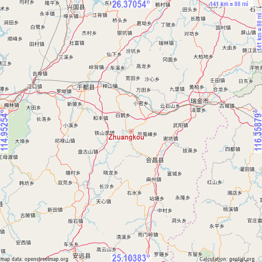
Zhuangkou GPS coordinates[2]
25° 44' 19.932" North, 115° 39' 20.376" East
| Map corner | latitude | longitude |
|---|---|---|
| Upper-left | 26.37054°, | 114.95254° |
| Center: | 25.73887°, | 115.65566° |
| Lower-right: | 25.10383°, | 116.35879° |
| Map W x H: | 140.8×140.8 km | = 87.5×87.5mi |
| max Lat: | 53.31946° ⇑83.4% North |
| Zhuangkou: | 25.73887° |
| min Lat: | ⇓16.6% South 18.22056° |
| min Long | Zhuangkou | max Long |
| 75.07348° | 115.65566° | 134.28917° |
| W 57.9%⇐ | ⇒42.1% E |
Elevation
Elevation of Zhuangkou is 171 m = 561 ft, and this is 313.8 m = 1030 ft below average elevation for this country.
| Max E: |
5622 m = 18445 ft | 49.3% |
| Avg. | 484.8 m = 1591 ft | |
| Zhuangkou | 171 m = 561 ft | |
Min E: |
-3 m = -10 ft | 50.7% |
See also: China elevation on elevation.city.
Geographical zone
Zhuangkou is located in North temperate zone (between Tropic of Cancer and the Arctic Circle). Distance of this Northern Tropic circle is 256 km =159.1 mi to South.| Distance of | km | miles | from Zhuangkou |
|---|---|---|---|
| North Pole | 7145.2 | 4439.8 | to North |
| Arctic Circle | 4539.3 | 2820.6 | to North |
| Tropic Cancer | 256 | 159.1 | to South |
| Equator | 2861.9 | 1778.3 | to South |


Nearby cities:
15 places around Zhuangkou: (largest is in red/bold)
• Bai’e
10 km =6.2 mi,  332°
332°
• Fenghuangdong
8.7 km =5.4 mi,  98°
98°
• Hefeng
18.1 km =11.2 mi,  292°
292°
• Huanglin
20.2 km =12.6 mi,  350°
350°
• Huichang
19.6 km =12.2 mi,  141°
141°
• Jingshi
17.7 km =11 mi,  243°
243°
• Tieshanlong
14.5 km =9 mi,  267°
267°
• Wantian
23.5 km =14.6 mi,  16°
16°
• Wenwuba
20.6 km =12.8 mi, 136°
• Xiaolong
24.6 km =15.3 mi,  206°
206°
• Xiaomi
16.1 km =10 mi, 18°
• Xiefang
21.3 km =13.2 mi, 99°
• Xijiang
16.6 km =10.3 mi,  48°
48°
• Zhuangbu
7.6 km =4.7 mi,  233°
233°
• Zhulan
13.6 km =8.5 mi,  155°
155°
Sources, notices
• [Note1] Compared only with cities in China existing in our database
• [Src1] Map data: © OpenStreetMap contributors (CC-BY-SA)
• [Src2] Other city data from geonames.org with taken over terms of usage.
• [Src3] Geographical zone / Annual Mean Temperature by Robert A. Rohde @ Wikipedia
