Qingminghe geodata
Qingminghe (Hubei) is a seat of a fourth-order administrative division; located in China in Asia/Shanghai (GMT+8) time zone. In our database, there are 1268 cities with bigger population. Compared to other cities in China, 55.1% of cities are located further ↓South; 53.1% of cities are located further →East and 77.2% of cities have higher elevation than Qingminghe. Note1


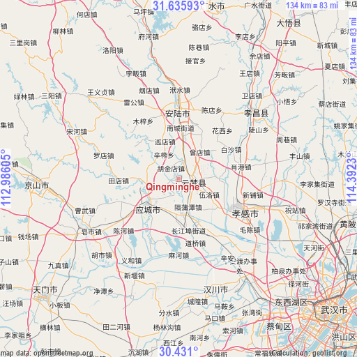
Qingminghe GPS coordinates[2]
31° 2' 7.332" North, 113° 41' 21.012" East
| Map corner | latitude | longitude |
|---|---|---|
| Upper-left | 31.63593°, | 112.98605° |
| Center: | 31.03537°, | 113.68917° |
| Lower-right: | 30.431°, | 114.3923° |
| Map W x H: | 134×134 km | = 83.3×83.3mi |
| max Lat: | 53.31946° ⇑44.9% North |
| Qingminghe: | 31.03537° |
| min Lat: | ⇓55.1% South 18.22056° |
| min Long | Qingminghe | max Long |
| 75.07348° | 113.68917° | 134.28917° |
| W 46.9%⇐ | ⇒53.1% E |
Elevation
Elevation of Qingminghe is 32 m = 105 ft, and this is 452.8 m = 1486 ft below average elevation for this country.
| Max E: |
5622 m = 18445 ft | 77.2% |
| Avg. | 484.8 m = 1591 ft | |
| Qingminghe | 32 m = 105 ft | |
Min E: |
-3 m = -10 ft | 22.8% |
See also: China elevation on elevation.city.
Geographical zone
Qingminghe is located in North temperate zone (between Tropic of Cancer and the Arctic Circle). Distance of this Northern Tropic circle is 844.9 km =525 mi to South.| Distance of | km | miles | from Qingminghe |
|---|---|---|---|
| North Pole | 6556.3 | 4073.9 | to North |
| Arctic Circle | 3950.4 | 2454.7 | to North |
| Tropic Cancer | 844.9 | 525 | to South |
| Equator | 3450.8 | 2144.2 | to South |


Nearby cities:
15 places around Qingminghe: (largest is in red/bold)
• Chengbei
13.7 km =8.5 mi,  234°
234°
• Dongmafang
13 km =8.1 mi,  177°
177°
• Geputan
11.1 km =6.9 mi,  162°
162°
• Hujindian
5.1 km =3.2 mi,  324°
324°
• Langjun
14.5 km =9 mi,  197°
197°
• Langjun
15.3 km =9.5 mi,  186°
186°
• Silipeng
12.5 km =7.8 mi,  216°
216°
• Wuluo
12.6 km =7.8 mi,  117°
117°
• Wupu
10.6 km =6.6 mi,  87°
87°
• Xinzha
10.7 km =6.6 mi,  327°
327°
• Xundian
15 km =9.3 mi,  339°
339°
• Yanghe
12.3 km =7.6 mi,  303°
303°
• Yitang
6.9 km =4.3 mi,  12°
12°
• Yunmeng Chengguanzhen
7.9 km =4.9 mi,  67°
67°
• Zengdian
12.7 km =7.9 mi,  37°
37°
Sources, notices
• [Note1] Compared only with cities in China existing in our database
• [Src1] Map data: © OpenStreetMap contributors (CC-BY-SA)
• [Src2] Other city data from geonames.org with taken over terms of usage.
• [Src3] Geographical zone / Annual Mean Temperature by Robert A. Rohde @ Wikipedia
