Niandui geodata
Niandui (Tibet) is a seat of a fourth-order administrative division; located in China in Asia/Shanghai (GMT+8) time zone. In our database, there are 1268 cities with bigger population. Compared to other cities in China, 66.5% of cities are located further ↑North; 97.3% of cities are located further →East and 98.8% of cities have lower elevation than Niandui. Note1


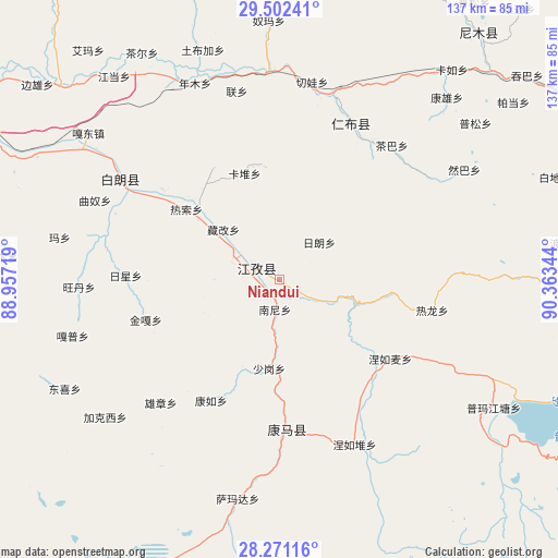
Niandui GPS coordinates[2]
28° 53' 18.996" North, 89° 39' 37.116" East
| Map corner | latitude | longitude |
|---|---|---|
| Upper-left | 29.50241°, | 88.95719° |
| Center: | 28.88861°, | 89.66031° |
| Lower-right: | 28.27116°, | 90.36344° |
| Map W x H: | 136.9×136.9 km | = 85.1×85.1mi |
| max Lat: | 53.31946° ⇑66.5% North |
| Niandui: | 28.88861° |
| min Lat: | ⇓33.5% South 18.22056° |
| min Long | Niandui | max Long |
| 75.07348° | 89.66031° | 134.28917° |
| W 2.7%⇐ | ⇒97.3% E |
Elevation
Elevation of Niandui is 4076 m = 13373 ft, and this is 3591.2 m = 11782 ft above average elevation for this country.
| Max E: |
5622 m = 18445 ft | 1.2% |
| Niandui | 4076 m 13373 ft | |
| Avg. | 484.8 m = 1591 ft | |
Min E: |
-3 m = -10 ft | 98.8% |
See also: China elevation on elevation.city.
Geographical zone
Niandui is located in North temperate zone (between Tropic of Cancer and the Arctic Circle). Distance of this Northern Tropic circle is 606.2 km =376.7 mi to South.| Distance of | km | miles | from Niandui |
|---|---|---|---|
| North Pole | 6794.9 | 4222.2 | to North |
| Arctic Circle | 4189.1 | 2603 | to North |
| Tropic Cancer | 606.2 | 376.7 | to South |
| Equator | 3212.1 | 1995.9 | to South |


Nearby cities:
15 places around Niandui: (largest is in red/bold)
• Cheren
4.6 km =2.9 mi,  129°
129°
• Dazi
29.7 km =18.5 mi,  313°
313°
• Jangra
8.6 km =5.3 mi,  280°
280°
• Jiangzi
6.9 km =4.3 mi,  300°
300°
• Kangzhuo
16 km =9.9 mi,  269°
269°
• Kardoi
27.4 km =17 mi,  342°
342°
• Karmai
31.8 km =19.8 mi,  329°
329°
• Lungmar
27.5 km =17.1 mi,  97°
97°
• Nanni
7.2 km =4.5 mi,  187°
187°
• Narong
28.6 km =17.8 mi,  351°
351°
• Nierumai
33.4 km =20.8 mi, 125°
• Rasog
28.7 km =17.8 mi, 308°
• Zangka
18.4 km =11.4 mi, 312°
• Zhongzi
24.5 km =15.2 mi, 307°
• Zijin
12.8 km =8 mi,  285°
285°
Sources, notices
• [Note1] Compared only with cities in China existing in our database
• [Src1] Map data: © OpenStreetMap contributors (CC-BY-SA)
• [Src2] Other city data from geonames.org with taken over terms of usage.
• [Src3] Geographical zone / Annual Mean Temperature by Robert A. Rohde @ Wikipedia
