Guihuaquan geodata
Guihuaquan (Hubei) is a seat of a fourth-order administrative division; located in China in Asia/Shanghai (GMT+8) time zone. In our database, there are 1268 cities with bigger population. Compared to other cities in China, 59.1% of cities are located further ↑North; 52.1% of cities are located further →East and 51.2% of cities have higher elevation than Guihuaquan. Note1


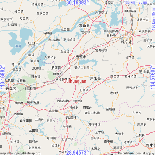
Guihuaquan GPS coordinates[2]
29° 33' 33.048" North, 113° 52' 22.584" East
| Map corner | latitude | longitude |
|---|---|---|
| Upper-left | 30.16893°, | 113.16982° |
| Center: | 29.55918°, | 113.87294° |
| Lower-right: | 28.94573°, | 114.57607° |
| Map W x H: | 136×136 km | = 84.5×84.5mi |
| max Lat: | 53.31946° ⇑59.1% North |
| Guihuaquan: | 29.55918° |
| min Lat: | ⇓40.9% South 18.22056° |
| min Long | Guihuaquan | max Long |
| 75.07348° | 113.87294° | 134.28917° |
| W 47.9%⇐ | ⇒52.1% E |
Elevation
Elevation of Guihuaquan is 155 m = 509 ft, and this is 329.8 m = 1082 ft below average elevation for this country.
| Max E: |
5622 m = 18445 ft | 51.2% |
| Avg. | 484.8 m = 1591 ft | |
| Guihuaquan | 155 m = 509 ft | |
Min E: |
-3 m = -10 ft | 48.8% |
See also: China elevation on elevation.city.
Geographical zone
Guihuaquan is located in North temperate zone (between Tropic of Cancer and the Arctic Circle). Distance of this Northern Tropic circle is 680.8 km =423 mi to South.| Distance of | km | miles | from Guihuaquan |
|---|---|---|---|
| North Pole | 6720.4 | 4175.9 | to North |
| Arctic Circle | 4114.5 | 2556.6 | to North |
| Tropic Cancer | 680.8 | 423 | to South |
| Equator | 3286.7 | 2042.3 | to South |


Nearby cities:
15 places around Guihuaquan: (largest is in red/bold)
• Baini
25 km =15.5 mi,  96°
96°
• Cha’anling
11.4 km =7.1 mi,  313°
313°
• Chebu
25.7 km =16 mi,  335°
335°
• Puqi
17.5 km =10.9 mi,  3°
3°
• Qingshan
19.5 km =12.1 mi,  133°
133°
• Shaping
20.3 km =12.6 mi,  180°
180°
• Shicheng
11.6 km =7.2 mi,  153°
153°
• Sizhuang
27.2 km =16.9 mi,  164°
164°
• Tiancheng
16.4 km =10.2 mi, 97°
• Tongzhong
24.4 km =15.2 mi,  112°
112°
• Xiaoling
24.2 km =15 mi,  195°
195°
• Xindian
21.3 km =13.2 mi,  297°
297°
• Yangloudong
12.6 km =7.8 mi,  261°
261°
• Zhaoliqiao
15.6 km =9.7 mi,  273°
273°
• Zhonghuopu
25.6 km =15.9 mi,  28°
28°
Sources, notices
• [Note1] Compared only with cities in China existing in our database
• [Src1] Map data: © OpenStreetMap contributors (CC-BY-SA)
• [Src2] Other city data from geonames.org with taken over terms of usage.
• [Src3] Geographical zone / Annual Mean Temperature by Robert A. Rohde @ Wikipedia
