Shicheng geodata
Shicheng (Hubei) is a seat of a fourth-order administrative division; located in China in Asia/Shanghai (GMT+8) time zone. In our database, there are 1268 cities with bigger population. Compared to other cities in China, 60.1% of cities are located further ↑North; 51.8% of cities are located further →East and 64.3% of cities have higher elevation than Shicheng. Note1


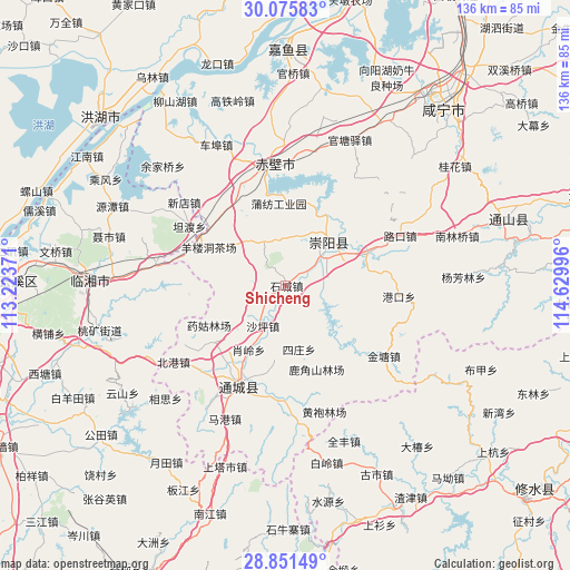
Shicheng GPS coordinates[2]
29° 27' 55.836" North, 113° 55' 36.588" East
| Map corner | latitude | longitude |
|---|---|---|
| Upper-left | 30.07583°, | 113.22371° |
| Center: | 29.46551°, | 113.92683° |
| Lower-right: | 28.85149°, | 114.62996° |
| Map W x H: | 136.1×136.1 km | = 84.6×84.6mi |
| max Lat: | 53.31946° ⇑60.1% North |
| Shicheng: | 29.46551° |
| min Lat: | ⇓39.9% South 18.22056° |
| min Long | Shicheng | max Long |
| 75.07348° | 113.92683° | 134.28917° |
| W 48.2%⇐ | ⇒51.8% E |
Elevation
Elevation of Shicheng is 76 m = 249 ft, and this is 408.8 m = 1341 ft below average elevation for this country.
| Max E: |
5622 m = 18445 ft | 64.3% |
| Avg. | 484.8 m = 1591 ft | |
| Shicheng | 76 m = 249 ft | |
Min E: |
-3 m = -10 ft | 35.7% |
See also: China elevation on elevation.city.
Geographical zone
Shicheng is located in North temperate zone (between Tropic of Cancer and the Arctic Circle). Distance of this Northern Tropic circle is 670.3 km =416.5 mi to South.| Distance of | km | miles | from Shicheng |
|---|---|---|---|
| North Pole | 6730.8 | 4182.3 | to North |
| Arctic Circle | 4124.9 | 2563.1 | to North |
| Tropic Cancer | 670.3 | 416.5 | to South |
| Equator | 3276.3 | 2035.8 | to South |


Nearby cities:
15 places around Shicheng: (largest is in red/bold)
• Baini
21.1 km =13.1 mi,  68°
68°
• Cha’anling
22.7 km =14.1 mi,  323°
323°
• Gangkou
26.8 km =16.7 mi,  96°
96°
• Gaojian
24.9 km =15.5 mi,  146°
146°
• Guihuaquan
11.6 km =7.2 mi,  333°
333°
• Juanshui
18.5 km =11.5 mi,  192°
192°
• Qingshan
9.4 km =5.8 mi,  108°
108°
• Shadui
18 km =11.2 mi, 188°
• Shaping
11.3 km =7 mi,  208°
208°
• Sizhuang
15.9 km =9.9 mi,  172°
172°
• Tiancheng
13.9 km =8.6 mi,  53°
53°
• Tongzhong
17.4 km =10.8 mi,  86°
86°
• Xiaoling
17.4 km =10.8 mi,  222°
222°
• Yangloudong
19.6 km =12.2 mi,  295°
295°
• Zhaoliqiao
23.8 km =14.8 mi, 298°
Sources, notices
• [Note1] Compared only with cities in China existing in our database
• [Src1] Map data: © OpenStreetMap contributors (CC-BY-SA)
• [Src2] Other city data from geonames.org with taken over terms of usage.
• [Src3] Geographical zone / Annual Mean Temperature by Robert A. Rohde @ Wikipedia
