Sa’erhusong geodata
Sa’erhusong (Heilongjiang) is a seat of a fourth-order administrative division; located in China in Asia/Urumqi (GMT+6) time zone. In our database, there are 1268 cities with bigger population. Compared to other cities in China, 97.9% of cities are located further ↓South; 98% of cities are located further →East and 73.5% of cities have lower elevation than Sa’erhusong. Note1


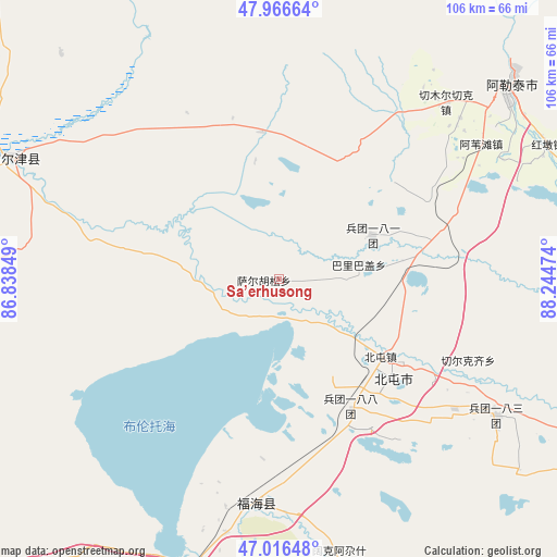
Sa’erhusong GPS coordinates[2]
47° 29' 37.356" North, 87° 32' 29.796" East
| Map corner | latitude | longitude |
|---|---|---|
| Upper-left | 47.96664°, | 86.83849° |
| Center: | 47.49371°, | 87.54161° |
| Lower-right: | 47.01648°, | 88.24474° |
| Map W x H: | 105.6×105.6 km | = 65.6×65.6mi |
| max Lat: | 53.31946° ⇑2.1% North |
| Sa’erhusong: | 47.49371° |
| min Lat: | ⇓97.9% South 18.22056° |
| min Long | Sa’erhusong | max Long |
| 75.07348° | 87.54161° | 134.28917° |
| W 2%⇐ | ⇒98% E |
Elevation
Elevation of Sa’erhusong is 487 m = 1598 ft, and this is 2.2 m = 7 ft above average elevation for this country.
| Max E: |
5622 m = 18445 ft | 26.5% |
| Sa’erhusong | 487 m 1598 ft | |
| Avg. | 484.8 m = 1591 ft | |
Min E: |
-3 m = -10 ft | 73.5% |
See also: China elevation on elevation.city.
Geographical zone
Sa’erhusong is located in North temperate zone (between Tropic of Cancer and the Arctic Circle). Distance of this North polar circle is 2120.4 km =1317.6 mi to North.| Distance of | km | miles | from Sa’erhusong |
|---|---|---|---|
| North Pole | 4726.3 | 2936.8 | to North |
| Arctic Circle | 2120.4 | 1317.6 | to North |
| Tropic Cancer | 2674.9 | 1662.1 | to South |
| Equator | 5280.8 | 3281.3 | to South |


Nearby cities:
15 places around Sa’erhusong: (largest is in red/bold)
• Alakak
28.1 km =17.5 mi,  353°
353°
• Altay
59.3 km =36.8 mi,  48°
48°
• Awiytan
46 km =28.6 mi,  56°
56°
• A’erda
40.2 km =25 mi,  183°
183°
• Balbagay
15.3 km =9.5 mi,  79°
79°
• Beitun
26.2 km =16.3 mi,  126°
126°
• Egiztobe
57.2 km =35.5 mi,  315°
315°
• Fuhai
42.9 km =26.7 mi,  185°
185°
• Hongdun
56.8 km =35.3 mi, 63°
• Jetaral
44.6 km =27.7 mi, 189°
• Kalaxilike
26.9 km =16.7 mi, 346°
• Kokagax
54.1 km =33.6 mi,  168°
168°
• Kostik
36.2 km =22.5 mi,  334°
334°
• Xemirxek
46.3 km =28.8 mi,  43°
43°
• Xirikxiy
39 km =24.2 mi,  113°
113°
Sources, notices
• [Note1] Compared only with cities in China existing in our database
• [Src1] Map data: © OpenStreetMap contributors (CC-BY-SA)
• [Src2] Other city data from geonames.org with taken over terms of usage.
• [Src3] Geographical zone / Annual Mean Temperature by Robert A. Rohde @ Wikipedia
