Xungmai geodata
Xungmai (Tibet) is a seat of a fourth-order administrative division; located in China in Asia/Shanghai (GMT+8) time zone. In our database, there are 1268 cities with bigger population. Compared to other cities in China, 57.4% of cities are located further ↓South; 97.7% of cities are located further →East and 99.9% of cities have lower elevation than Xungmai. Note1


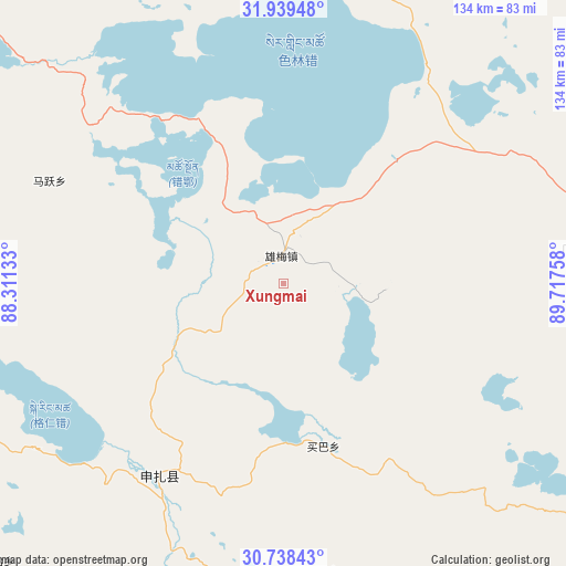
Xungmai GPS coordinates[2]
31° 20' 27.132" North, 89° 0' 52.02" East
| Map corner | latitude | longitude |
|---|---|---|
| Upper-left | 31.93948°, | 88.31133° |
| Center: | 31.34087°, | 89.01445° |
| Lower-right: | 30.73843°, | 89.71758° |
| Map W x H: | 133.5×133.5 km | = 83×83mi |
| max Lat: | 53.31946° ⇑42.6% North |
| Xungmai: | 31.34087° |
| min Lat: | ⇓57.4% South 18.22056° |
| min Long | Xungmai | max Long |
| 75.07348° | 89.01445° | 134.28917° |
| W 2.3%⇐ | ⇒97.7% E |
Elevation
Elevation of Xungmai is 4908 m = 16102 ft, and this is 4423.2 m = 14512 ft above average elevation for this country.
| Max E: |
5622 m = 18445 ft | 0.099999999999994% |
| Xungmai | 4908 m 16102 ft | |
| Avg. | 484.8 m = 1591 ft | |
Min E: |
-3 m = -10 ft | 99.9% |
See also: China elevation on elevation.city.
Geographical zone
Xungmai is located in North temperate zone (between Tropic of Cancer and the Arctic Circle). Distance of this Northern Tropic circle is 878.9 km =546.1 mi to South.| Distance of | km | miles | from Xungmai |
|---|---|---|---|
| North Pole | 6522.3 | 4052.8 | to North |
| Arctic Circle | 3916.4 | 2433.5 | to North |
| Tropic Cancer | 878.9 | 546.1 | to South |
| Equator | 3484.8 | 2165.4 | to South |


Nearby cities:
15 places around Xungmai: (largest is in red/bold)
• Baoji
117.6 km =73.1 mi,  109°
109°
• Deqing
139.3 km =86.6 mi,  130°
130°
• Gyamco
167 km =103.8 mi,  174°
174°
• Jiajuedibu
58 km =36 mi,  218°
218°
• Jiaqiong
152.1 km =94.5 mi,  76°
76°
• Lhabupu
168 km =104.4 mi, 167°
• Maiba
37.7 km =23.4 mi, 168°
• Maintang
70.8 km =44 mi, 83°
• Maqian
117 km =72.7 mi,  72°
72°
• Pubu
94.7 km =58.8 mi,  86°
86°
• Pundam
160.1 km =99.5 mi,  176°
176°
• Qinglung
158.3 km =98.4 mi,  97°
97°
• Rendui
141.2 km =87.7 mi, 176°
• Tarma
73.8 km =45.9 mi, 172°
• Xinji
113.6 km =70.6 mi,  136°
136°
Sources, notices
• [Note1] Compared only with cities in China existing in our database
• [Src1] Map data: © OpenStreetMap contributors (CC-BY-SA)
• [Src2] Other city data from geonames.org with taken over terms of usage.
• [Src3] Geographical zone / Annual Mean Temperature by Robert A. Rohde @ Wikipedia
