Maintang geodata
Maintang (Tibet) is a seat of a fourth-order administrative division; located in China in Asia/Shanghai (GMT+8) time zone. In our database, there are 1268 cities with bigger population. Compared to other cities in China, 57.8% of cities are located further ↓South; 97.3% of cities are located further →East and 99.7% of cities have lower elevation than Maintang. Note1


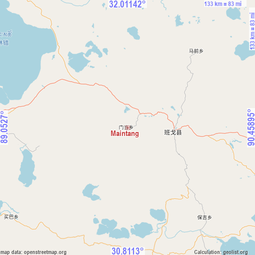
Maintang GPS coordinates[2]
31° 24' 47.808" North, 89° 45' 20.952" East
| Map corner | latitude | longitude |
|---|---|---|
| Upper-left | 32.01142°, | 89.0527° |
| Center: | 31.41328°, | 89.75582° |
| Lower-right: | 30.8113°, | 90.45895° |
| Map W x H: | 133.4×133.4 km | = 82.9×82.9mi |
| max Lat: | 53.31946° ⇑42.2% North |
| Maintang: | 31.41328° |
| min Lat: | ⇓57.8% South 18.22056° |
| min Long | Maintang | max Long |
| 75.07348° | 89.75582° | 134.28917° |
| W 2.7%⇐ | ⇒97.3% E |
Elevation
Elevation of Maintang is 4617 m = 15148 ft, and this is 4132.2 m = 13557 ft above average elevation for this country.
| Max E: |
5622 m = 18445 ft | 0.3% |
| Maintang | 4617 m 15148 ft | |
| Avg. | 484.8 m = 1591 ft | |
Min E: |
-3 m = -10 ft | 99.7% |
See also: China elevation on elevation.city.
Geographical zone
Maintang is located in North temperate zone (between Tropic of Cancer and the Arctic Circle). Distance of this Northern Tropic circle is 886.9 km =551.1 mi to South.| Distance of | km | miles | from Maintang |
|---|---|---|---|
| North Pole | 6514.2 | 4047.7 | to North |
| Arctic Circle | 3908.3 | 2428.5 | to North |
| Tropic Cancer | 886.9 | 551.1 | to South |
| Equator | 3492.8 | 2170.3 | to South |


Nearby cities:
15 places around Maintang: (largest is in red/bold)
• Baoji
61.8 km =38.4 mi,  139°
139°
• Beila
101.8 km =63.3 mi,  90°
90°
• Deqing
104.6 km =65 mi,  160°
160°
• Jiajuedibu
119.4 km =74.2 mi,  243°
243°
• Jiaqiong
82.2 km =51.1 mi,  70°
70°
• Maiba
77.1 km =47.9 mi,  234°
234°
• Maqian
49.4 km =30.7 mi,  56°
56°
• Namaqie
158.1 km =98.2 mi, 85°
• Nyima
129.3 km =80.3 mi,  106°
106°
• Pubu
24.2 km =15 mi, 94°
• Qiangma
120.6 km =74.9 mi, 58°
• Qinglung
90.9 km =56.5 mi, 107°
• Tarma
102 km =63.4 mi,  217°
217°
• Xinji
91 km =56.5 mi,  175°
175°
• Xungmai
70.8 km =44 mi,  263°
263°
Sources, notices
• [Note1] Compared only with cities in China existing in our database
• [Src1] Map data: © OpenStreetMap contributors (CC-BY-SA)
• [Src2] Other city data from geonames.org with taken over terms of usage.
• [Src3] Geographical zone / Annual Mean Temperature by Robert A. Rohde @ Wikipedia
