Reyu geodata
Reyu (Tibet) is a seat of a fourth-order administrative division; located in China in Asia/Shanghai (GMT+8) time zone. In our database, there are 1268 cities with bigger population. Compared to other cities in China, 56% of cities are located further ↓South; 96.1% of cities are located further →East and 97.9% of cities have lower elevation than Reyu. Note1


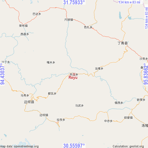
Reyu GPS coordinates[2]
31° 9' 34.416" North, 95° 8' 0.564" East
| Map corner | latitude | longitude |
|---|---|---|
| Upper-left | 31.75933°, | 94.43037° |
| Center: | 31.15956°, | 95.13349° |
| Lower-right: | 30.55597°, | 95.83662° |
| Map W x H: | 133.8×133.8 km | = 83.1×83.1mi |
| max Lat: | 53.31946° ⇑44% North |
| Reyu: | 31.15956° |
| min Lat: | ⇓56% South 18.22056° |
| min Long | Reyu | max Long |
| 75.07348° | 95.13349° | 134.28917° |
| W 3.9%⇐ | ⇒96.1% E |
Elevation
Elevation of Reyu is 3579 m = 11742 ft, and this is 3094.2 m = 10152 ft above average elevation for this country.
| Max E: |
5622 m = 18445 ft | 2.1% |
| Reyu | 3579 m 11742 ft | |
| Avg. | 484.8 m = 1591 ft | |
Min E: |
-3 m = -10 ft | 97.9% |
See also: China elevation on elevation.city.
Geographical zone
Reyu is located in North temperate zone (between Tropic of Cancer and the Arctic Circle). Distance of this Northern Tropic circle is 858.7 km =533.6 mi to South.| Distance of | km | miles | from Reyu |
|---|---|---|---|
| North Pole | 6542.4 | 4065.3 | to North |
| Arctic Circle | 3936.6 | 2446.1 | to North |
| Tropic Cancer | 858.7 | 533.6 | to South |
| Equator | 3464.6 | 2152.8 | to South |


Nearby cities:
15 places around Reyu: (largest is in red/bold)
• Banbar
46.1 km =28.6 mi,  217°
217°
• Coka
52.5 km =32.6 mi,  237°
237°
• Dingqing
51.2 km =31.8 mi,  56°
56°
• Domartang
48.9 km =30.4 mi, 239°
• Garmo
23.5 km =14.6 mi,  298°
298°
• Gyamotang
50.4 km =31.3 mi,  34°
34°
• Jamda
79.6 km =49.5 mi, 296°
• Marxog
49.2 km =30.6 mi,  246°
246°
• Mawu
28 km =17.4 mi,  168°
168°
• Nyinmo
76.3 km =47.4 mi,  277°
277°
• Rongbo
64.9 km =40.3 mi,  312°
312°
• Sechang
57.9 km =36 mi, 308°
• Shading
61.7 km =38.3 mi, 280°
• Towa
26.4 km =16.4 mi,  230°
230°
• Xiexiong
54 km =33.6 mi, 58°
Sources, notices
• [Note1] Compared only with cities in China existing in our database
• [Src1] Map data: © OpenStreetMap contributors (CC-BY-SA)
• [Src2] Other city data from geonames.org with taken over terms of usage.
• [Src3] Geographical zone / Annual Mean Temperature by Robert A. Rohde @ Wikipedia
