Qingshui geodata
Qingshui (Gansu) is a seat of a fourth-order administrative division; located in China in Asia/Shanghai (GMT+8) time zone. In our database, there are 1268 cities with bigger population. Compared to other cities in China, 84.3% of cities are located further ↓South; 95% of cities are located further →East and 91.8% of cities have lower elevation than Qingshui. Note1


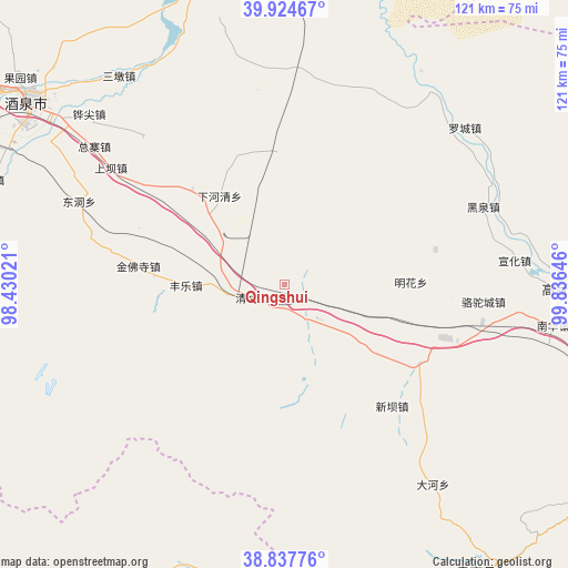
Qingshui GPS coordinates[2]
39° 22' 59.988" North, 99° 7' 59.988" East
| Map corner | latitude | longitude |
|---|---|---|
| Upper-left | 39.92467°, | 98.43021° |
| Center: | 39.38333°, | 99.13333° |
| Lower-right: | 38.83776°, | 99.83646° |
| Map W x H: | 120.9×120.9 km | = 75.1×75.1mi |
| max Lat: | 53.31946° ⇑15.7% North |
| Qingshui: | 39.38333° |
| min Lat: | ⇓84.3% South 18.22056° |
| min Long | Qingshui | max Long |
| 75.07348° | 99.13333° | 134.28917° |
| W 5%⇐ | ⇒95% E |
Elevation
Elevation of Qingshui is 1553 m = 5095 ft, and this is 1068.2 m = 3505 ft above average elevation for this country.
| Max E: |
5622 m = 18445 ft | 8.2% |
| Qingshui | 1553 m 5095 ft | |
| Avg. | 484.8 m = 1591 ft | |
Min E: |
-3 m = -10 ft | 91.8% |
See also: China elevation on elevation.city.
Geographical zone
Qingshui is located in North temperate zone (between Tropic of Cancer and the Arctic Circle). Distance of this Northern Tropic circle is 1773.1 km =1101.8 mi to South.| Distance of | km | miles | from Qingshui |
|---|---|---|---|
| North Pole | 5628 | 3497.1 | to North |
| Arctic Circle | 3022.2 | 1877.9 | to North |
| Tropic Cancer | 1773.1 | 1101.8 | to South |
| Equator | 4379 | 2721 | to South |


Nearby cities:
15 places around Qingshui: (largest is in red/bold)
• Dongdong
42.1 km =26.2 mi,  287°
287°
• Gaotai Chengguanzhen
57.5 km =35.7 mi,  94°
94°
• Heiquan
44.1 km =27.4 mi,  70°
70°
• Hongyazi
29.3 km =18.2 mi,  150°
150°
• Huangnibao
45.9 km =28.5 mi,  324°
324°
• Jinfosi
27.3 km =17 mi,  273°
273°
• Jiuquan
66.2 km =41.1 mi,  307°
307°
• Lianhua
27.9 km =17.3 mi,  354°
354°
• Linshui
53.8 km =33.4 mi,  326°
326°
• Luocheng
49.1 km =30.5 mi,  47°
47°
• Minghai
27.6 km =17.1 mi,  61°
61°
• Nanhua
56.4 km =35 mi,  97°
97°
• Xiaheqing
24.9 km =15.5 mi, 324°
• Xinba
34.4 km =21.4 mi,  136°
136°
• Zongzhai
52.6 km =32.7 mi,  299°
299°
Sources, notices
• [Note1] Compared only with cities in China existing in our database
• [Src1] Map data: © OpenStreetMap contributors (CC-BY-SA)
• [Src2] Other city data from geonames.org with taken over terms of usage.
• [Src3] Geographical zone / Annual Mean Temperature by Robert A. Rohde @ Wikipedia
