Muhur geodata
Muhur (Xinjiang) is a seat of a fourth-order administrative division; located in China in Asia/Urumqi (GMT+6) time zone. In our database, there are 1268 cities with bigger population. Compared to other cities in China, 92.1% of cities are located further ↓South; 99.1% of cities are located further →East and 91.9% of cities have lower elevation than Muhur. Note1


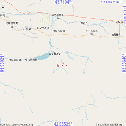
Muhur GPS coordinates[2]
43° 12' 0" North, 82° 37' 59.988" East
| Map corner | latitude | longitude |
|---|---|---|
| Upper-left | 43.7104°, | 81.93021° |
| Center: | 43.2°, | 82.63333° |
| Lower-right: | 42.68529°, | 83.33646° |
| Map W x H: | 114×114 km | = 70.8×70.8mi |
| max Lat: | 53.31946° ⇑7.9% North |
| Muhur: | 43.2° |
| min Lat: | ⇓92.1% South 18.22056° |
| min Long | Muhur | max Long |
| 75.07348° | 82.63333° | 134.28917° |
| W 0.9%⇐ | ⇒99.1% E |
Elevation
Elevation of Muhur is 1561 m = 5121 ft, and this is 1076.2 m = 3531 ft above average elevation for this country.
| Max E: |
5622 m = 18445 ft | 8.1% |
| Muhur | 1561 m 5121 ft | |
| Avg. | 484.8 m = 1591 ft | |
Min E: |
-3 m = -10 ft | 91.9% |
See also: China elevation on elevation.city.
Geographical zone
Muhur is located in North temperate zone (between Tropic of Cancer and the Arctic Circle). Distance of this Northern Tropic circle is 2197.5 km =1365.5 mi to South.| Distance of | km | miles | from Muhur |
|---|---|---|---|
| North Pole | 5203.7 | 3233.4 | to North |
| Arctic Circle | 2597.8 | 1614.2 | to North |
| Tropic Cancer | 2197.5 | 1365.5 | to South |
| Equator | 4803.4 | 2984.7 | to South |


Nearby cities:
15 places around Muhur: (largest is in red/bold)
• Agarsin
36.8 km =22.9 mi,  330°
330°
• Hujirti
60.1 km =37.3 mi,  272°
272°
• Karasu
80.3 km =49.9 mi, 333°
• Karatobe
61.1 km =38 mi,  0°
0°
• Kax
78.8 km =49 mi,  308°
308°
• Nilka
66.4 km =41.3 mi,  350°
350°
• Suptay
92.1 km =57.2 mi, 333°
• Taldi
41.5 km =25.8 mi,  55°
55°
• Tekes
64.3 km =40 mi, 271°
• Tikerik
58.1 km =36.1 mi, 307°
• Tokkuztara
49.1 km =30.5 mi, 307°
• Türgen
75.2 km =46.7 mi, 62°
• Xinyuan
55.9 km =34.7 mi, 63°
• Xorbulak
38.3 km =23.8 mi,  43°
43°
• Zekti
64.2 km =39.9 mi,  54°
54°
Sources, notices
• [Note1] Compared only with cities in China existing in our database
• [Src1] Map data: © OpenStreetMap contributors (CC-BY-SA)
• [Src2] Other city data from geonames.org with taken over terms of usage.
• [Src3] Geographical zone / Annual Mean Temperature by Robert A. Rohde @ Wikipedia
