Jingouhe geodata
Jingouhe (Xinjiang) is a seat of a fourth-order administrative division; located in China in Asia/Urumqi (GMT+6) time zone. In our database, there are 1268 cities with bigger population. Compared to other cities in China, 93.2% of cities are located further ↓South; 98.5% of cities are located further →East and 73.9% of cities have lower elevation than Jingouhe. Note1


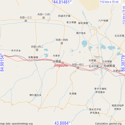
Jingouhe GPS coordinates[2]
44° 18' 49.176" North, 85° 41' 4.776" East
| Map corner | latitude | longitude |
|---|---|---|
| Upper-left | 44.81461°, | 84.98154° |
| Center: | 44.31366°, | 85.68466° |
| Lower-right: | 43.8084°, | 86.38779° |
| Map W x H: | 111.9×111.9 km | = 69.5×69.5mi |
| max Lat: | 53.31946° ⇑6.8% North |
| Jingouhe: | 44.31366° |
| min Lat: | ⇓93.2% South 18.22056° |
| min Long | Jingouhe | max Long |
| 75.07348° | 85.68466° | 134.28917° |
| W 1.5%⇐ | ⇒98.5% E |
Elevation
Elevation of Jingouhe is 498 m = 1634 ft, and this is 13.2 m = 43 ft above average elevation for this country.
| Max E: |
5622 m = 18445 ft | 26.1% |
| Jingouhe | 498 m 1634 ft | |
| Avg. | 484.8 m = 1591 ft | |
Min E: |
-3 m = -10 ft | 73.9% |
See also: China elevation on elevation.city.
Geographical zone
Jingouhe is located in North temperate zone (between Tropic of Cancer and the Arctic Circle). Distance of this Northern Tropic circle is 2321.3 km =1442.4 mi to South.| Distance of | km | miles | from Jingouhe |
|---|---|---|---|
| North Pole | 5079.8 | 3156.4 | to North |
| Arctic Circle | 2474 | 1537.3 | to North |
| Tropic Cancer | 2321.3 | 1442.4 | to South |
| Equator | 4927.2 | 3061.6 | to South |


Nearby cities:
15 places around Jingouhe: (largest is in red/bold)
• Anjihai
26.9 km =16.7 mi,  280°
280°
• Beiquan
26.2 km =16.3 mi,  84°
84°
• Bor Tungge
37.9 km =23.5 mi,  220°
220°
• Daquan
9.9 km =6.2 mi,  303°
303°
• Dongwan
29.3 km =18.2 mi,  161°
161°
• Kaiganqi
40.8 km =25.4 mi,  287°
287°
• Laoshawan
37 km =23 mi,  11°
11°
• Liumaowan
36.8 km =22.9 mi,  29°
29°
• Manasi
42.1 km =26.2 mi,  91°
91°
• Sandaohezi
5.3 km =3.3 mi, 284°
• Shanghudi
28.5 km =17.7 mi, 31°
• Shihezi
28.1 km =17.5 mi, 92°
• Sidaohezi
41.8 km =26 mi,  2°
2°
• Ulan Us
14 km =8.7 mi,  101°
101°
• Xigebi
31.7 km =19.7 mi,  204°
204°
Sources, notices
• [Note1] Compared only with cities in China existing in our database
• [Src1] Map data: © OpenStreetMap contributors (CC-BY-SA)
• [Src2] Other city data from geonames.org with taken over terms of usage.
• [Src3] Geographical zone / Annual Mean Temperature by Robert A. Rohde @ Wikipedia
