Útica geodata
Útica (Cundinamarca) is a seat of a second-order administrative division; located in Colombia in America/Bogota (GMT-5) time zone. With population of 2,945 people, there are 686 cities with bigger population in this country. Compared to other cities in Colombia, 57.7% of cities are located further ↑North; 57% of cities are located further ←West and 63.7% of cities have higher elevation than Útica. Note1


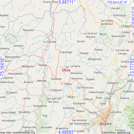
Útica GPS coordinates[2]
5° 11' 14.172" North, 74° 28' 51.78" West
| Map corner | latitude | longitude |
|---|---|---|
| Upper-left | 5.88711°, | -75.18418° |
| Center: | 5.18727°, | -74.48105° |
| Lower-right: | 4.48665°, | -73.77793° |
| Map W x H: | 155.7×155.7 km | = 96.7×96.7mi |
| max Lat: | 13.38166° ⇑57.7% North |
| Útica: | 5.18727° |
| min Lat: | ⇓42.3% South -4.21528° |
| min Long | Útica | max Long |
| -81.70636° | -74.48105° | -67.06996° |
| W 57%⇐ | ⇒43% E |
Elevation
Elevation of Útica is 503 m = 1650 ft, and this is 646.3 m = 2120 ft below average elevation for this country.
| Max E: |
3342 m = 10965 ft | 63.7% |
| Avg. | 1149.3 m = 3771 ft | |
| Útica | 503 m = 1650 ft | |
Min E: |
1 m = 3 ft | 36.3% |
See also: Colombia elevation on elevation.city.
Geographical zone
Útica is located in North Torrid zone (between Equator and Tropic of Cancer). Distance of Equator is 576.8 km =358.4 mi to South.| Distance of | km | miles | from Útica |
|---|---|---|---|
| North Pole | 9430.3 | 5859.7 | to North |
| Arctic Circle | 6824.4 | 4240.5 | to North |
| Tropic Cancer | 2029.1 | 1260.8 | to North |
| Equator | 576.8 | 358.4 | to South |


Nearby cities:
15 places around Útica: (largest is in red/bold)
• Cachipay
13 km =8.1 mi,  312°
312°
• Caparrapí
17.7 km =11 mi,  356°
356°
• El Peñón
22.3 km =13.9 mi,  70°
70°
• Granada
16.4 km =10.2 mi,  215°
215°
• Guaduas
18.4 km =11.4 mi, 223°
• La Palma
21.6 km =13.4 mi,  27°
27°
• La Peña
9.8 km =6.1 mi,  82°
82°
• La Vega
25.8 km =16 mi,  143°
143°
• Nimaima
12.6 km =7.8 mi,  122°
122°
• Nocaima
17.1 km =10.6 mi, 141°
• Quebradanegra
7.8 km =4.8 mi,  178°
178°
• Sasaima
25 km =15.5 mi,  168°
168°
• Topaipí
25.6 km =15.9 mi,  50°
50°
• Vergara
16.9 km =10.5 mi, 117°
• Villeta
19.9 km =12.4 mi, 177°
Sources, notices
• [Note1] Compared only with cities in Colombia existing in our database
• [Src1] Map data: © OpenStreetMap contributors (CC-BY-SA)
• [Src2] Other city data from geonames.org with taken over terms of usage.
• [Src3] Geographical zone / Annual Mean Temperature by Robert A. Rohde @ Wikipedia
