Soplaviento geodata
Soplaviento (Bolívar) is a seat of a second-order administrative division; located in Colombia in America/Bogota (GMT-5) time zone. With population of 8,067 people, there are 366 cities with bigger population in this country. Compared to other cities in Colombia, 95% of cities are located further ↓South; 57.7% of cities are located further →East and 97.5% of cities have higher elevation than Soplaviento. Note1


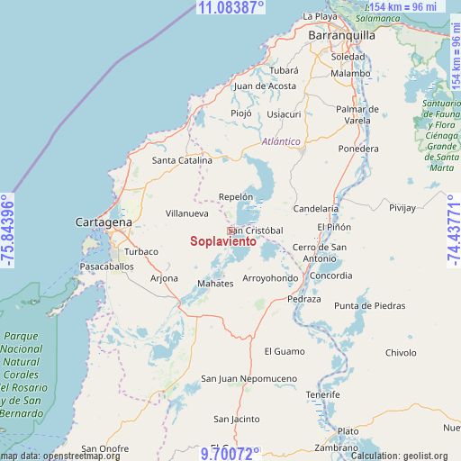
Soplaviento GPS coordinates[2]
10° 23' 35.016" North, 75° 8' 26.988" West
| Map corner | latitude | longitude |
|---|---|---|
| Upper-left | 11.08387°, | -75.84396° |
| Center: | 10.39306°, | -75.14083° |
| Lower-right: | 9.70072°, | -74.43771° |
| Map W x H: | 153.8×153.8 km | = 95.6×95.6mi |
| max Lat: | 13.38166° ⇑5% North |
| Soplaviento: | 10.39306° |
| min Lat: | ⇓95% South -4.21528° |
| min Long | Soplaviento | max Long |
| -81.70636° | -75.14083° | -67.06996° |
| W 42.3%⇐ | ⇒57.7% E |
Elevation
Elevation of Soplaviento is 8 m = 26 ft, and this is 1141.3 m = 3744 ft below average elevation for this country.
| Max E: |
3342 m = 10965 ft | 97.5% |
| Avg. | 1149.3 m = 3771 ft | |
| Soplaviento | 8 m = 26 ft | |
Min E: |
1 m = 3 ft | 2.5% |
See also: Colombia elevation on elevation.city.
Geographical zone
Soplaviento is located in North Torrid zone (between Equator and Tropic of Cancer). Distance of Equator is 1155.6 km =718.1 mi to South.| Distance of | km | miles | from Soplaviento |
|---|---|---|---|
| North Pole | 8851.5 | 5500.1 | to North |
| Arctic Circle | 6245.6 | 3880.8 | to North |
| Tropic Cancer | 1450.3 | 901.2 | to North |
| Equator | 1155.6 | 718.1 | to South |


Nearby cities:
15 places around Soplaviento: (largest is in red/bold)
• Arjona
27 km =16.8 mi,  235°
235°
• Arroyohondo
20.5 km =12.7 mi,  139°
139°
• Calamar
29.2 km =18.1 mi,  122°
122°
• Campo de la Cruz
28.2 km =17.5 mi,  93°
93°
• Clemencia
27.9 km =17.3 mi,  313°
313°
• Luruaco
24.9 km =15.5 mi,  357°
357°
• Mahates
18.6 km =11.6 mi,  196°
196°
• Manatí
20.8 km =12.9 mi,  73°
73°
• Repelón
11.5 km =7.1 mi,  8°
8°
• San Cristóbal
8.2 km =5.1 mi, 88°
• San Estanislao
1.3 km =0.8 mi,  297°
297°
• Santa Catalina
28.4 km =17.6 mi,  325°
325°
• Santa Lucía
21.2 km =13.2 mi,  111°
111°
• Santa Rosa
25.7 km =16 mi,  282°
282°
• Villanueva
15.5 km =9.6 mi,  291°
291°
Sources, notices
• [Note1] Compared only with cities in Colombia existing in our database
• [Src1] Map data: © OpenStreetMap contributors (CC-BY-SA)
• [Src2] Other city data from geonames.org with taken over terms of usage.
• [Src3] Geographical zone / Annual Mean Temperature by Robert A. Rohde @ Wikipedia
