Santana geodata
Santana (Boyacá) is a seat of a second-order administrative division; located in Colombia in America/Bogota (GMT-5) time zone. With population of 2,091 people, there are 788 cities with bigger population in this country. Compared to other cities in Colombia, 60.5% of cities are located further ↓South; 76.1% of cities are located further ←West and 65.2% of cities have lower elevation than Santana. Note1


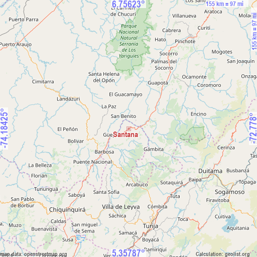
Santana GPS coordinates[2]
6° 3' 27" North, 73° 28' 52.032" West
| Map corner | latitude | longitude |
|---|---|---|
| Upper-left | 6.75623°, | -74.18425° |
| Center: | 6.0575°, | -73.48112° |
| Lower-right: | 5.35787°, | -72.778° |
| Map W x H: | 155.5×155.5 km | = 96.6×96.6mi |
| max Lat: | 13.38166° ⇑39.5% North |
| Santana: | 6.0575° |
| min Lat: | ⇓60.5% South -4.21528° |
| min Long | Santana | max Long |
| -81.70636° | -73.48112° | -67.06996° |
| W 76.1%⇐ | ⇒23.9% E |
Elevation
Elevation of Santana is 1593 m = 5226 ft, and this is 443.7 m = 1456 ft above average elevation for this country.
| Max E: |
3342 m = 10965 ft | 34.8% |
| Santana | 1593 m 5226 ft | |
| Avg. | 1149.3 m = 3771 ft | |
Min E: |
1 m = 3 ft | 65.2% |
See also: Colombia elevation on elevation.city.
Geographical zone
Santana is located in North Torrid zone (between Equator and Tropic of Cancer). Distance of Equator is 673.5 km =418.5 mi to South.| Distance of | km | miles | from Santana |
|---|---|---|---|
| North Pole | 9333.5 | 5799.6 | to North |
| Arctic Circle | 6727.6 | 4180.3 | to North |
| Tropic Cancer | 1932.4 | 1200.7 | to North |
| Equator | 673.5 | 418.5 | to South |


Nearby cities:
15 places around Santana: (largest is in red/bold)
• Aguada
12.5 km =7.8 mi,  338°
338°
• Barbosa
20.4 km =12.7 mi,  226°
226°
• Chipatá
17.3 km =10.7 mi,  271°
271°
• Chitaraque
5 km =3.1 mi,  130°
130°
• El Guacamayo
20.9 km =13 mi,  355°
355°
• Guadalupe
22.1 km =13.7 mi,  18°
18°
• Gámbita
19.6 km =12.2 mi, 129°
• Güepsa
10.8 km =6.7 mi,  250°
250°
• La Paz
18 km =11.2 mi,  318°
318°
• Moniquirá
22.5 km =14 mi,  206°
206°
• San Benito
8.4 km =5.2 mi,  352°
352°
• San José de Pare
8.5 km =5.3 mi,  238°
238°
• Suaita
6.6 km =4.1 mi,  42°
42°
• Togüí
14.1 km =8.8 mi,  194°
194°
• Vélez
21.8 km =13.5 mi,  257°
257°
Sources, notices
• [Note1] Compared only with cities in Colombia existing in our database
• [Src1] Map data: © OpenStreetMap contributors (CC-BY-SA)
• [Src2] Other city data from geonames.org with taken over terms of usage.
• [Src3] Geographical zone / Annual Mean Temperature by Robert A. Rohde @ Wikipedia
