Canalete geodata
Canalete (Córdoba) is a seat of a second-order administrative division; located in Colombia in America/Bogota (GMT-5) time zone. In our database, there are 1053 cities with bigger population. Compared to other cities in Colombia, 85.3% of cities are located further ↓South; 83.7% of cities are located further →East and 86% of cities have higher elevation than Canalete. Note1


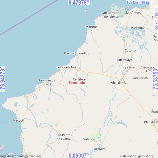
Canalete GPS coordinates[2]
8° 47' 8.088" North, 76° 14' 26.34" West
| Map corner | latitude | longitude |
|---|---|---|
| Upper-left | 9.47979°, | -76.94378° |
| Center: | 8.78558°, | -76.24065° |
| Lower-right: | 8.09007°, | -75.53753° |
| Map W x H: | 154.5×154.5 km | = 96×96mi |
| max Lat: | 13.38166° ⇑14.7% North |
| Canalete: | 8.78558° |
| min Lat: | ⇓85.3% South -4.21528° |
| min Long | Canalete | max Long |
| -81.70636° | -76.24065° | -67.06996° |
| W 16.3%⇐ | ⇒83.7% E |
Elevation
Elevation of Canalete is 51 m = 167 ft, and this is 1098.3 m = 3603 ft below average elevation for this country.
| Max E: |
3342 m = 10965 ft | 86% |
| Avg. | 1149.3 m = 3771 ft | |
| Canalete | 51 m = 167 ft | |
Min E: |
1 m = 3 ft | 14% |
See also: Colombia elevation on elevation.city.
Geographical zone
Canalete is located in North Torrid zone (between Equator and Tropic of Cancer). Distance of Equator is 976.9 km =607 mi to South.| Distance of | km | miles | from Canalete |
|---|---|---|---|
| North Pole | 9030.2 | 5611.1 | to North |
| Arctic Circle | 6424.3 | 3991.9 | to North |
| Tropic Cancer | 1629.1 | 1012.3 | to North |
| Equator | 976.9 | 607 | to South |


Nearby cities:
15 places around Canalete: (largest is in red/bold)
• Arboletes
21.7 km =13.5 mi,  289°
289°
• Buenavista
39.3 km =24.4 mi,  41°
41°
• Canalete
12.8 km =8 mi,  161°
161°
• Cereté
50.7 km =31.5 mi,  77°
77°
• Cotorra
57 km =35.4 mi,  60°
60°
• Los Córdobas
17.4 km =10.8 mi,  313°
313°
• Montería
39.7 km =24.7 mi,  96°
96°
• Moñitos
52.6 km =32.7 mi,  13°
13°
• Puerto Escondido
26 km =16.2 mi,  354°
354°
• San Carlos
58.1 km =36.1 mi,  94°
94°
• San Carlos
59.5 km =37 mi, 88°
• San Juan de Urabá
31.9 km =19.8 mi,  264°
264°
• San Pedro de Urabá
58.7 km =36.5 mi,  194°
194°
• San Pelayo
48.4 km =30.1 mi,  66°
66°
• Valencia
59.5 km =37 mi,  170°
170°
Sources, notices
• [Note1] Compared only with cities in Colombia existing in our database
• [Src1] Map data: © OpenStreetMap contributors (CC-BY-SA)
• [Src2] Other city data from geonames.org with taken over terms of usage.
• [Src3] Geographical zone / Annual Mean Temperature by Robert A. Rohde @ Wikipedia
