Barrio San Luis geodata
Barrio San Luis (Bogota D.C.) is a populated place; located in Colombia in America/Bogota (GMT-5) time zone. With population of 2,000 people, there are 802 cities with bigger population in this country. Compared to other cities in Colombia, 68.9% of cities are located further ↑North; 64.8% of cities are located further ←West and 99.3% of cities have lower elevation than Barrio San Luis. Note1


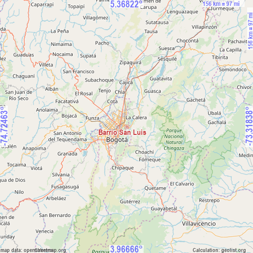
Barrio San Luis GPS coordinates[2]
4° 40' 4.044" North, 74° 1' 17.4" West
| Map corner | latitude | longitude |
|---|---|---|
| Upper-left | 5.36822°, | -74.72463° |
| Center: | 4.66779°, | -74.0215° |
| Lower-right: | 3.96666°, | -73.31838° |
| Map W x H: | 155.8×155.8 km | = 96.8×96.8mi |
| max Lat: | 13.38166° ⇑68.9% North |
| Barrio San Luis: | 4.66779° |
| min Lat: | ⇓31.1% South -4.21528° |
| min Long | Barrio San Luis | max Long |
| -81.70636° | -74.0215° | -67.06996° |
| W 64.8%⇐ | ⇒35.2% E |
Elevation
Elevation of Barrio San Luis is 3047 m = 9997 ft, and this is 1897.7 m = 6226 ft above average elevation for this country.
| Max E: |
3342 m = 10965 ft | 0.7% |
| Barrio San Luis | 3047 m 9997 ft | |
| Avg. | 1149.3 m = 3771 ft | |
Min E: |
1 m = 3 ft | 99.3% |
See also: Colombia elevation on elevation.city.
Geographical zone
Barrio San Luis is located in North Torrid zone (between Equator and Tropic of Cancer). Distance of Equator is 519 km =322.5 mi to South.| Distance of | km | miles | from Barrio San Luis |
|---|---|---|---|
| North Pole | 9488.1 | 5895.6 | to North |
| Arctic Circle | 6882.2 | 4276.4 | to North |
| Tropic Cancer | 2086.9 | 1296.7 | to North |
| Equator | 519 | 322.5 | to South |


Nearby cities:
15 places around Barrio San Luis: (largest is in red/bold)
• Bogotá
9.3 km =5.8 mi,  225°
225°
• Cajicá
27.9 km =17.3 mi,  358°
358°
• Chipaque
25.2 km =15.7 mi,  185°
185°
• Choachí
18.9 km =11.7 mi,  144°
144°
• Chía
21.6 km =13.4 mi,  349°
349°
• Cota
17.9 km =11.1 mi,  331°
331°
• Funza
21.8 km =13.5 mi,  284°
284°
• Fómeque
24.3 km =15.1 mi,  145°
145°
• Guasca
27.2 km =16.9 mi,  35°
35°
• La Calera
8.3 km =5.2 mi, 44°
• Madrid
27.8 km =17.3 mi, 284°
• Mosquera
23.5 km =14.6 mi, 280°
• Soacha
23.8 km =14.8 mi,  245°
245°
• Tenjo
26.5 km =16.5 mi, 329°
• Ubaque
22.2 km =13.8 mi,  155°
155°
Sources, notices
• [Note1] Compared only with cities in Colombia existing in our database
• [Src1] Map data: © OpenStreetMap contributors (CC-BY-SA)
• [Src2] Other city data from geonames.org with taken over terms of usage.
• [Src3] Geographical zone / Annual Mean Temperature by Robert A. Rohde @ Wikipedia
