Choachí geodata
Choachí (Cundinamarca) is a seat of a second-order administrative division; located in Colombia in America/Bogota (GMT-5) time zone. With population of 4,281 people, there are 555 cities with bigger population in this country. Compared to other cities in Colombia, 70.9% of cities are located further ↑North; 66.7% of cities are located further ←West and 77.2% of cities have lower elevation than Choachí. Note1


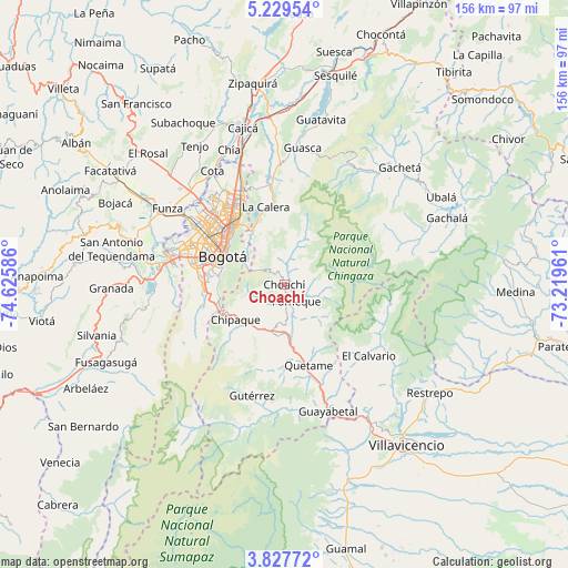
Choachí GPS coordinates[2]
4° 31' 44.292" North, 73° 55' 21.828" West
| Map corner | latitude | longitude |
|---|---|---|
| Upper-left | 5.22954°, | -74.62586° |
| Center: | 4.52897°, | -73.92273° |
| Lower-right: | 3.82772°, | -73.21961° |
| Map W x H: | 155.9×155.9 km | = 96.9×96.9mi |
| max Lat: | 13.38166° ⇑70.9% North |
| Choachí: | 4.52897° |
| min Lat: | ⇓29.1% South -4.21528° |
| min Long | Choachí | max Long |
| -81.70636° | -73.92273° | -67.06996° |
| W 66.7%⇐ | ⇒33.3% E |
Elevation
Elevation of Choachí is 1921 m = 6302 ft, and this is 771.7 m = 2532 ft above average elevation for this country.
| Max E: |
3342 m = 10965 ft | 22.8% |
| Choachí | 1921 m 6302 ft | |
| Avg. | 1149.3 m = 3771 ft | |
Min E: |
1 m = 3 ft | 77.2% |
See also: Colombia elevation on elevation.city.
Geographical zone
Choachí is located in North Torrid zone (between Equator and Tropic of Cancer). Distance of Equator is 503.6 km =312.9 mi to South.| Distance of | km | miles | from Choachí |
|---|---|---|---|
| North Pole | 9503.5 | 5905.2 | to North |
| Arctic Circle | 6897.6 | 4286 | to North |
| Tropic Cancer | 2102.3 | 1306.3 | to North |
| Equator | 503.6 | 312.9 | to South |


Nearby cities:
15 places around Choachí: (largest is in red/bold)
• Barrio San Luis
18.9 km =11.7 mi,  324°
324°
• Bogotá
19.8 km =12.3 mi,  296°
296°
• Chipaque
16.5 km =10.3 mi,  234°
234°
• Cota
36.7 km =22.8 mi,  328°
328°
• Cáqueza
14 km =8.7 mi,  191°
191°
• El Calvario
30.5 km =19 mi,  129°
129°
• Fosca
21.2 km =13.2 mi,  184°
184°
• Fómeque
5.3 km =3.3 mi,  148°
148°
• Gutiérrez
31.8 km =19.8 mi,  196°
196°
• La Calera
21.9 km =13.6 mi,  346°
346°
• Quetame
22.9 km =14.2 mi,  162°
162°
• San Juanito
27.9 km =17.3 mi,  105°
105°
• Soacha
33.1 km =20.6 mi,  279°
279°
• Ubaque
5 km =3.1 mi, 199°
• Une
18 km =11.2 mi,  219°
219°
Sources, notices
• [Note1] Compared only with cities in Colombia existing in our database
• [Src1] Map data: © OpenStreetMap contributors (CC-BY-SA)
• [Src2] Other city data from geonames.org with taken over terms of usage.
• [Src3] Geographical zone / Annual Mean Temperature by Robert A. Rohde @ Wikipedia
