Fómeque geodata
Fómeque (Cundinamarca) is a seat of a second-order administrative division; located in Colombia in America/Bogota (GMT-5) time zone. With population of 5,389 people, there are 480 cities with bigger population in this country. Compared to other cities in Colombia, 71.6% of cities are located further ↑North; 67.5% of cities are located further ←West and 74.6% of cities have lower elevation than Fómeque. Note1


Fómeque GPS coordinates[2]
4° 29' 16.692" North, 73° 53' 50.964" West
| Map corner | latitude | longitude |
|---|---|---|
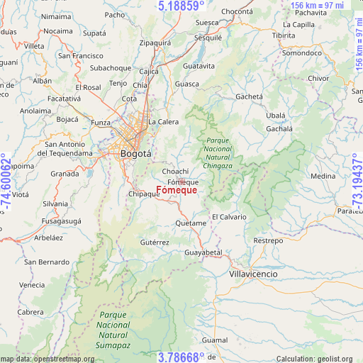
| Upper-left | 5.18859°, | -74.60062° |
| Center: | 4.48797°, | -73.89749° |
| Lower-right: | 3.78668°, | -73.19437° |
| Map W x H: | 155.9×155.9 km | = 96.9×96.9mi |
| max Lat: | 13.38166° ⇑71.6% North |
| Fómeque: | 4.48797° |
| min Lat: | ⇓28.4% South -4.21528° |
| min Long | Fómeque | max Long |
| -81.70636° | -73.89749° | -67.06996° |
| W 67.5%⇐ | ⇒32.5% E |
Elevation
Elevation of Fómeque is 1820 m = 5971 ft, and this is 670.7 m = 2200 ft above average elevation for this country.
| Max E: |
3342 m = 10965 ft | 25.4% |
| Fómeque | 1820 m 5971 ft | |
| Avg. | 1149.3 m = 3771 ft | |
Min E: |
1 m = 3 ft | 74.6% |
See also: Colombia elevation on elevation.city.
Geographical zone
Fómeque is located in North Torrid zone (between Equator and Tropic of Cancer). Distance of Equator is 499 km =310.1 mi to South.| Distance of | km | miles | from Fómeque |
|---|---|---|---|
| North Pole | 9508 | 5908 | to North |
| Arctic Circle | 6902.2 | 4288.8 | to North |
| Tropic Cancer | 2106.9 | 1309.2 | to North |
| Equator | 499 | 310.1 | to South |


Nearby cities:
15 places around Fómeque: (largest is in red/bold)
• Barrio San Luis
24.3 km =15.1 mi,  325°
325°
• Bogotá
24.5 km =15.2 mi,  303°
303°
• Chipaque
17 km =10.6 mi,  252°
252°
• Choachí
5.3 km =3.3 mi, 328°
• Cáqueza
10.7 km =6.6 mi,  210°
210°
• El Calvario
25.5 km =15.8 mi,  125°
125°
• Fosca
17.2 km =10.7 mi,  195°
195°
• Guayabetal
31.7 km =19.7 mi,  163°
163°
• Gutiérrez
28.4 km =17.6 mi, 204°
• La Calera
27.1 km =16.8 mi,  342°
342°
• Quetame
17.8 km =11.1 mi,  166°
166°
• San Juanito
24.2 km =15 mi,  97°
97°
• Soacha
36.8 km =22.9 mi,  286°
286°
• Ubaque
4.4 km =2.7 mi,  268°
268°
• Une
17 km =10.6 mi,  236°
236°
Sources, notices
• [Note1] Compared only with cities in Colombia existing in our database
• [Src1] Map data: © OpenStreetMap contributors (CC-BY-SA)
• [Src2] Other city data from geonames.org with taken over terms of usage.
• [Src3] Geographical zone / Annual Mean Temperature by Robert A. Rohde @ Wikipedia
