Sopetrán geodata
Sopetrán (Antioquia) is a seat of a second-order administrative division; located in Colombia in America/Bogota (GMT-5) time zone. In our database, there are 1053 cities with bigger population. Compared to other cities in Colombia, 68.3% of cities are located further ↓South; 73.7% of cities are located further →East and 59.8% of cities have higher elevation than Sopetrán. Note1


Sopetrán GPS coordinates[2]
6° 30' 6.48" North, 75° 44' 35.124" West
| Map corner | latitude | longitude |
|---|---|---|
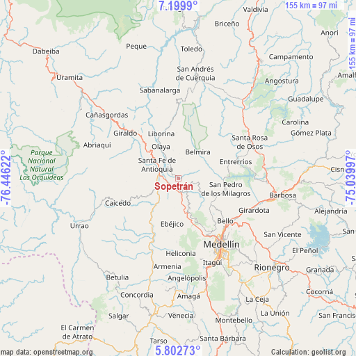
| Upper-left | 7.1999°, | -76.44622° |
| Center: | 6.5018°, | -75.74309° |
| Lower-right: | 5.80273°, | -75.03997° |
| Map W x H: | 155.4×155.4 km | = 96.6×96.6mi |
| max Lat: | 13.38166° ⇑31.7% North |
| Sopetrán: | 6.5018° |
| min Lat: | ⇓68.3% South -4.21528° |
| min Long | Sopetrán | max Long |
| -81.70636° | -75.74309° | -67.06996° |
| W 26.3%⇐ | ⇒73.7% E |
Elevation
Elevation of Sopetrán is 759 m = 2490 ft, and this is 390.3 m = 1281 ft below average elevation for this country.
| Max E: |
3342 m = 10965 ft | 59.8% |
| Avg. | 1149.3 m = 3771 ft | |
| Sopetrán | 759 m = 2490 ft | |
Min E: |
1 m = 3 ft | 40.2% |
See also: Colombia elevation on elevation.city.
Geographical zone
Sopetrán is located in North Torrid zone (between Equator and Tropic of Cancer). Distance of Equator is 722.9 km =449.2 mi to South.| Distance of | km | miles | from Sopetrán |
|---|---|---|---|
| North Pole | 9284.1 | 5768.9 | to North |
| Arctic Circle | 6678.2 | 4149.6 | to North |
| Tropic Cancer | 1883 | 1170 | to North |
| Equator | 722.9 | 449.2 | to South |


Nearby cities:
15 places around Sopetrán: (largest is in red/bold)
• Anzá
25.2 km =15.7 mi,  208°
208°
• Bello
27.4 km =17 mi,  131°
131°
• Belmira
14.3 km =8.9 mi,  36°
36°
• Buriticá
30.2 km =18.8 mi,  323°
323°
• Caicedo
28.6 km =17.8 mi,  247°
247°
• Copacabana
31.1 km =19.3 mi,  123°
123°
• Ebéjico
19.7 km =12.2 mi,  188°
188°
• Entrerríos
26 km =16.2 mi,  74°
74°
• Giraldo
30.5 km =19 mi,  310°
310°
• Heliconia
32.6 km =20.3 mi,  178°
178°
• Liborina
21 km =13 mi,  338°
338°
• Olaya
16 km =9.9 mi,  331°
331°
• San Jerónimo
6.7 km =4.2 mi,  165°
165°
• San Pedro
21 km =13 mi,  102°
102°
• Santa Fe de Antioquia
11.2 km =7 mi,  303°
303°
Sources, notices
• [Note1] Compared only with cities in Colombia existing in our database
• [Src1] Map data: © OpenStreetMap contributors (CC-BY-SA)
• [Src2] Other city data from geonames.org with taken over terms of usage.
• [Src3] Geographical zone / Annual Mean Temperature by Robert A. Rohde @ Wikipedia
