Quepos geodata
Quepos (Puntarenas) is a seat of a second-order administrative division; located in Costa Rica in America/Costa_Rica (GMT-6) time zone. With population of 7,810 people, there are 60 cities with bigger population in this country. Compared to other cities in Costa Rica, 92.5% of cities are located further ↑North; 56% of cities are located further →East and 100% of cities have higher elevation than Quepos. Note1


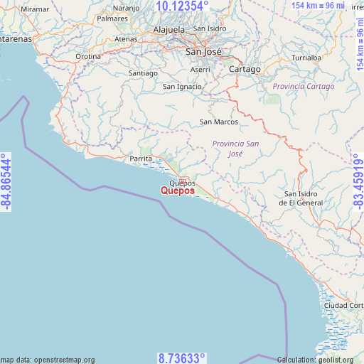
Quepos GPS coordinates[2]
9° 25' 50.268" North, 84° 9' 44.316" West
| Map corner | latitude | longitude |
|---|---|---|
| Upper-left | 10.12354°, | -84.86544° |
| Center: | 9.43063°, | -84.16231° |
| Lower-right: | 8.73633°, | -83.45919° |
| Map W x H: | 154.2×154.2 km | = 95.8×95.8mi |
| max Lat: | 11.07377° ⇑92.5% North |
| Quepos: | 9.43063° |
| min Lat: | ⇓7.5% South 8.53305° |
| min Long | Quepos | max Long |
| -85.64748° | -84.16231° | -82.62185° |
| W 44%⇐ | ⇒56% E |
Elevation
Elevation of Quepos is 7 m = 23 ft, and this is 728 m = 2388 ft below average elevation for this country.
| Max E: |
1844 m = 6050 ft | 100% |
| Avg. | 735 m = 2411 ft | |
| Quepos | 7 m = 23 ft | |
Min E: |
7 m = 23 ft | 0% |
See also: Costa Rica elevation on elevation.city.
Geographical zone
Quepos is located in North Torrid zone (between Equator and Tropic of Cancer). Distance of Equator is 1048.6 km =651.6 mi to South.| Distance of | km | miles | from Quepos |
|---|---|---|---|
| North Pole | 8958.5 | 5566.6 | to North |
| Arctic Circle | 6352.6 | 3947.3 | to North |
| Tropic Cancer | 1557.3 | 967.7 | to North |
| Equator | 1048.6 | 651.6 | to South |


Nearby cities:
15 places around Quepos: (largest is in red/bold)
• Aserrí
48.2 km =30 mi,  9°
9°
• Monterrey
36.8 km =22.9 mi, 9°
• Pacayas
43.7 km =27.2 mi,  16°
16°
• Palmichal
45.5 km =28.3 mi,  354°
354°
• Parrita
20.2 km =12.6 mi,  299°
299°
• Salitrillos
47.6 km =29.6 mi, 9°
• San Ignacio
40.9 km =25.4 mi,  0°
0°
• San Juan de Dios
50.4 km =31.3 mi, 9°
• San Marcos
29.9 km =18.6 mi,  31°
31°
• San Miguel
50.2 km =31.2 mi, 12°
• San Pablo
31.1 km =19.3 mi, 25°
• San Rafael Abajo
46.7 km =29 mi,  342°
342°
• Santiago
49.1 km =30.5 mi, 340°
• Tejar
36 km =22.4 mi, 347°
• Tobosi
49.4 km =30.7 mi, 23°
Sources, notices
• [Note1] Compared only with cities in Costa Rica existing in our database
• [Src1] Map data: © OpenStreetMap contributors (CC-BY-SA)
• [Src2] Other city data from geonames.org with taken over terms of usage.
• [Src3] Geographical zone / Annual Mean Temperature by Robert A. Rohde @ Wikipedia
