Candelaria geodata
Candelaria (Artemisa) is a seat of a second-order administrative division; located in Cuba in America/Havana (GMT-4) time zone. With population of 12,675 people, there are 135 cities with bigger population in this country. Compared to other cities in Cuba, 69.6% of cities are located further ↓South; 91.7% of cities are located further →East and 55.8% of cities have lower elevation than Candelaria. Note1


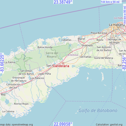
Candelaria GPS coordinates[2]
22° 44' 26.052" North, 82° 57' 32.832" West
| Map corner | latitude | longitude |
|---|---|---|
| Upper-left | 23.38749°, | -83.66225° |
| Center: | 22.74057°, | -82.95912° |
| Lower-right: | 22.09058°, | -82.256° |
| Map W x H: | 144.2×144.2 km | = 89.6×89.6mi |
| max Lat: | 23.15917° ⇑30.4% North |
| Candelaria: | 22.74057° |
| min Lat: | ⇓69.6% South 19.90553° |
| min Long | Candelaria | max Long |
| -84.28599° | -82.95912° | -74.15181° |
| W 8.3%⇐ | ⇒91.7% E |
Elevation
Elevation of Candelaria is 59 m = 194 ft, and this is 9.6 m = 31 ft below average elevation for this country.
| Max E: |
761 m = 2497 ft | 44.2% |
| Avg. | 68.6 m = 225 ft | |
| Candelaria | 59 m = 194 ft | |
Min E: |
3 m = 10 ft | 55.8% |
See also: Cuba elevation on elevation.city.
Geographical zone
Candelaria is located in North Torrid zone (between Equator and Tropic of Cancer). Distance of this Northern Tropic circle is 77.4 km =48.1 mi to North.| Distance of | km | miles | from Candelaria |
|---|---|---|---|
| North Pole | 7478.5 | 4646.9 | to North |
| Arctic Circle | 4872.7 | 3027.8 | to North |
| Tropic Cancer | 77.4 | 48.1 | to North |
| Equator | 2528.5 | 1571.1 | to South |


Nearby cities:
15 places around Candelaria: (largest is in red/bold)
• Alquízar
39.1 km =24.3 mi,  79°
79°
• Artemisa
22.2 km =13.8 mi,  67°
67°
• Bahía Honda
27.4 km =17 mi,  311°
311°
• Bauta
50 km =31.1 mi,  57°
57°
• Cabañas
26.8 km =16.7 mi,  8°
8°
• Caimito
44.1 km =27.4 mi, 58°
• Guanajay
34.7 km =21.6 mi,  53°
53°
• Güira de Melena
46.8 km =29.1 mi, 82°
• La Salud
56.8 km =35.3 mi, 75°
• Los Palacios
34 km =21.1 mi,  240°
240°
• Mariel
34.8 km =21.6 mi,  37°
37°
• San Antonio de los Baños
49.8 km =30.9 mi, 70°
• San Cristobal
10.3 km =6.4 mi,  255°
255°
• San Diego de Los Baños
43.4 km =27 mi, 256°
• Soroa
8.9 km =5.5 mi,  318°
318°
Sources, notices
• [Note1] Compared only with cities in Cuba existing in our database
• [Src1] Map data: © OpenStreetMap contributors (CC-BY-SA)
• [Src2] Other city data from geonames.org with taken over terms of usage.
• [Src3] Geographical zone / Annual Mean Temperature by Robert A. Rohde @ Wikipedia
