Wildenhain geodata
Wildenhain (Saxony) is a populated place; located in Germany in Europe/Berlin (GMT+2) time zone. With population of 1,765 people, there are 5405 cities with bigger population in this country. Compared to other cities in Germany, 63.4% of cities are located further ↓South; 95.6% of cities are located further ←West and 66% of cities have higher elevation than Wildenhain. Note1


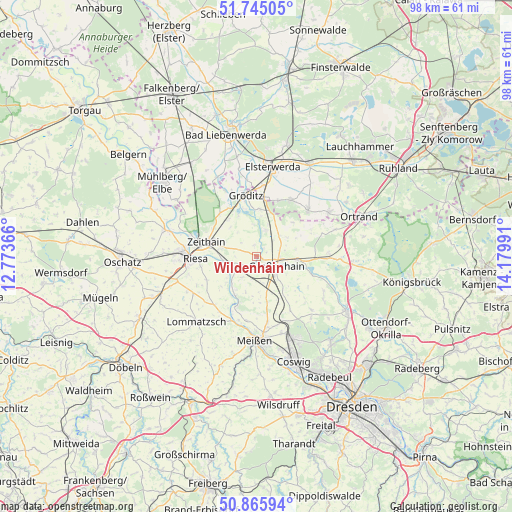
Wildenhain GPS coordinates[2]
51° 18' 27.36" North, 13° 28' 36.408" East
| Map corner | latitude | longitude |
|---|---|---|
| Upper-left | 51.74505°, | 12.77366° |
| Center: | 51.3076°, | 13.47678° |
| Lower-right: | 50.86594°, | 14.17991° |
| Map W x H: | 97.7×97.7 km | = 60.7×60.7mi |
| max Lat: | 55.01917° ⇑36.6% North |
| Wildenhain: | 51.3076° |
| min Lat: | ⇓63.4% South 47.40724° |
| min Long | Wildenhain | max Long |
| 5.92978° | 13.47678° | 14.98853° |
| W 95.6%⇐ | ⇒4.4% E |
Elevation
Elevation of Wildenhain is 114 m = 374 ft, and this is 135.1 m = 443 ft below average elevation for this country.
| Max E: |
1256 m = 4121 ft | 66% |
| Avg. | 249.1 m = 817 ft | |
| Wildenhain | 114 m = 374 ft | |
Min E: |
-5 m = -16 ft | 34% |
See also: Germany elevation on elevation.city.
Geographical zone
Wildenhain is located in North temperate zone (between Tropic of Cancer and the Arctic Circle). Distance of this North polar circle is 1696.3 km =1054 mi to North.| Distance of | km | miles | from Wildenhain |
|---|---|---|---|
| North Pole | 4302.2 | 2673.3 | to North |
| Arctic Circle | 1696.3 | 1054 | to North |
| Tropic Cancer | 3099 | 1925.6 | to South |
| Equator | 5704.9 | 3544.9 | to South |


Nearby cities:
15 places around Wildenhain: (largest is in red/bold)
• Ebersbach
14.6 km =9.1 mi,  124°
124°
• Glaubitz
7.1 km =4.4 mi,  285°
285°
• Großenhain
4.4 km =2.7 mi, 117°
• Gröden
12 km =7.5 mi,  31°
31°
• Hirschfeld
12.9 km =8 mi,  49°
49°
• Lampertswalde
13.9 km =8.6 mi,  88°
88°
• Merzdorf
11 km =6.8 mi,  20°
20°
• Nauwalde
13.2 km =8.2 mi,  339°
339°
• Nünchritz
6.4 km =4 mi,  262°
262°
• Priestewitz
7 km =4.3 mi,  156°
156°
• Riesa
12.9 km =8 mi,  270°
270°
• Weißig
3 km =1.9 mi,  234°
234°
• Wülknitz
8.5 km =5.3 mi,  320°
320°
• Zabeltitz
5.2 km =3.2 mi, 21°
• Zeithain
10.1 km =6.3 mi, 286°
Sources, notices
• [Note1] Compared only with cities in Germany existing in our database
• [Src1] Map data: © OpenStreetMap contributors (CC-BY-SA)
• [Src2] Other city data from geonames.org with taken over terms of usage.
• [Src3] Geographical zone / Annual Mean Temperature by Robert A. Rohde @ Wikipedia
