Ebersbach geodata
Ebersbach (Saxony) is a seat of a fourth-order administrative division; located in Germany in Europe/Berlin (GMT+2) time zone. With population of 5,077 people, there are 2798 cities with bigger population in this country. Compared to other cities in Germany, 62% of cities are located further ↓South; 96.6% of cities are located further ←West and 59.1% of cities have higher elevation than Ebersbach. Note1


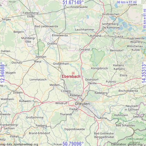
Ebersbach GPS coordinates[2]
51° 13' 59.988" North, 13° 39' 0" East
| Map corner | latitude | longitude |
|---|---|---|
| Upper-left | 51.67149°, | 12.94688° |
| Center: | 51.23333°, | 13.65° |
| Lower-right: | 50.79096°, | 14.35313° |
| Map W x H: | 97.9×97.9 km | = 60.8×60.8mi |
| max Lat: | 55.01917° ⇑38% North |
| Ebersbach: | 51.23333° |
| min Lat: | ⇓62% South 47.40724° |
| min Long | Ebersbach | max Long |
| 5.92978° | 13.65° | 14.98853° |
| W 96.6%⇐ | ⇒3.4% E |
Elevation
Elevation of Ebersbach is 160 m = 525 ft, and this is 89.1 m = 292 ft below average elevation for this country.
| Max E: |
1256 m = 4121 ft | 59.1% |
| Avg. | 249.1 m = 817 ft | |
| Ebersbach | 160 m = 525 ft | |
Min E: |
-5 m = -16 ft | 40.9% |
See also: Germany elevation on elevation.city.
Geographical zone
Ebersbach is located in North temperate zone (between Tropic of Cancer and the Arctic Circle). Distance of this North polar circle is 1704.6 km =1059.2 mi to North.| Distance of | km | miles | from Ebersbach |
|---|---|---|---|
| North Pole | 4310.4 | 2678.4 | to North |
| Arctic Circle | 1704.6 | 1059.2 | to North |
| Tropic Cancer | 3090.7 | 1920.5 | to South |
| Equator | 5696.6 | 3539.7 | to South |


Nearby cities:
15 places around Ebersbach: (largest is in red/bold)
• Coswig
12.2 km =7.6 mi,  202°
202°
• Großenhain
10.2 km =6.3 mi,  307°
307°
• Lampertswalde
8.8 km =5.5 mi,  12°
12°
• Meissen
14.6 km =9.1 mi,  236°
236°
• Moritzburg
8.5 km =5.3 mi,  165°
165°
• Niederau
9.6 km =6 mi,  229°
229°
• Ottendorf-Okrilla
13.9 km =8.6 mi,  113°
113°
• Priestewitz
9.5 km =5.9 mi,  281°
281°
• Radebeul
14.1 km =8.8 mi,  177°
177°
• Radeburg
5.8 km =3.6 mi, 110°
• Schönfeld
8.2 km =5.1 mi,  25°
25°
• Tauscha
11.1 km =6.9 mi,  70°
70°
• Thiendorf
9.2 km =5.7 mi,  43°
43°
• Weinböhla
9.4 km =5.8 mi,  218°
218°
• Wildenhain
14.6 km =9.1 mi,  304°
304°
Sources, notices
• [Note1] Compared only with cities in Germany existing in our database
• [Src1] Map data: © OpenStreetMap contributors (CC-BY-SA)
• [Src2] Other city data from geonames.org with taken over terms of usage.
• [Src3] Geographical zone / Annual Mean Temperature by Robert A. Rohde @ Wikipedia
