Teising geodata
Teising (Bavaria) is a seat of a fourth-order administrative division; located in Germany in Europe/Berlin (GMT+2) time zone. With population of 1,971 people, there are 5105 cities with bigger population in this country. Compared to other cities in Germany, 92.3% of cities are located further ↑North; 89% of cities are located further ←West and 75.9% of cities have lower elevation than Teising. Note1
Administrative division(s):
- Level 1: Bavaria
- Level 2: Upper Bavaria
- Level 3: Landkreis Altötting
- Level 4: Teising


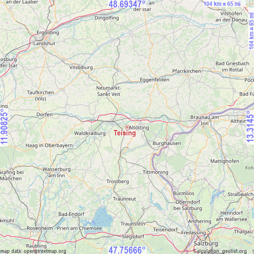
Teising GPS coordinates[2]
48° 13' 37.956" North, 12° 36' 40.932" East
| Map corner | latitude | longitude |
|---|---|---|
| Upper-left | 48.69347°, | 11.90825° |
| Center: | 48.22721°, | 12.61137° |
| Lower-right: | 47.75666°, | 13.3145° |
| Map W x H: | 104.2×104.2 km | = 64.7×64.7mi |
| max Lat: | 55.01917° ⇑92.3% North |
| Teising: | 48.22721° |
| min Lat: | ⇓7.7% South 47.40724° |
| min Long | Teising | max Long |
| 5.92978° | 12.61137° | 14.98853° |
| W 89%⇐ | ⇒11% E |
Elevation
Elevation of Teising is 405 m = 1329 ft, and this is 155.9 m = 511 ft above average elevation for this country.
| Max E: |
1256 m = 4121 ft | 24.1% |
| Teising | 405 m 1329 ft | |
| Avg. | 249.1 m = 817 ft | |
Min E: |
-5 m = -16 ft | 75.9% |
See also: Germany elevation on elevation.city.
Geographical zone
Teising is located in North temperate zone (between Tropic of Cancer and the Arctic Circle). Distance of this North polar circle is 2038.8 km =1266.9 mi to North.| Distance of | km | miles | from Teising |
|---|---|---|---|
| North Pole | 4644.7 | 2886.1 | to North |
| Arctic Circle | 2038.8 | 1266.9 | to North |
| Tropic Cancer | 2756.4 | 1712.7 | to South |
| Equator | 5362.4 | 3332 | to South |


Nearby cities:
15 places around Teising: (largest is in red/bold)
• Altötting
4.8 km =3 mi,  92°
92°
• Aresing
5.6 km =3.5 mi,  355°
355°
• Erharting
6.6 km =4.1 mi,  341°
341°
• Garching an der Alz
10.5 km =6.5 mi,  192°
192°
• Kastl
7.2 km =4.5 mi,  114°
114°
• Mühldorf
7 km =4.3 mi,  288°
288°
• Neuötting
6 km =3.7 mi,  75°
75°
• Oberneukirchen
8.5 km =5.3 mi,  235°
235°
• Pleiskirchen
8.9 km =5.5 mi,  353°
353°
• Polling
3.5 km =2.2 mi,  250°
250°
• Rohrbach
8 km =5 mi,  329°
329°
• Töging am Inn
4.2 km =2.6 mi, 331°
• Tüßling
1.9 km =1.2 mi,  207°
207°
• Unterneukirchen
6.7 km =4.2 mi,  176°
176°
• Winhöring
5.2 km =3.2 mi,  33°
33°
Sources, notices
• [Note1] Compared only with cities in Germany existing in our database
• [Src1] Map data: © OpenStreetMap contributors (CC-BY-SA)
• [Src2] Other city data from geonames.org with taken over terms of usage.
• [Src3] Geographical zone / Annual Mean Temperature by Robert A. Rohde @ Wikipedia
