Surwold geodata
Surwold (Lower Saxony) is a seat of a fourth-order administrative division; located in Germany in Europe/Berlin (GMT+2) time zone. With population of 4,421 people, there are 3085 cities with bigger population in this country. Compared to other cities in Germany, 81.6% of cities are located further ↓South; 86.8% of cities are located further →East and 94.3% of cities have higher elevation than Surwold. Note1


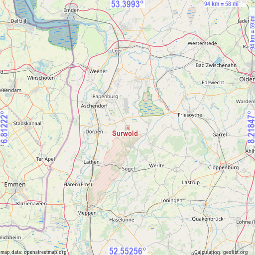
Surwold GPS coordinates[2]
52° 58' 40.8" North, 7° 30' 55.224" East
| Map corner | latitude | longitude |
|---|---|---|
| Upper-left | 53.3993°, | 6.81222° |
| Center: | 52.978°, | 7.51534° |
| Lower-right: | 52.55256°, | 8.21847° |
| Map W x H: | 94.1×94.1 km | = 58.5×58.5mi |
| max Lat: | 55.01917° ⇑18.4% North |
| Surwold: | 52.978° |
| min Lat: | ⇓81.6% South 47.40724° |
| min Long | Surwold | max Long |
| 5.92978° | 7.51534° | 14.98853° |
| W 13.2%⇐ | ⇒86.8% E |
Elevation
Elevation of Surwold is 10 m = 33 ft, and this is 239.1 m = 784 ft below average elevation for this country.
| Max E: |
1256 m = 4121 ft | 94.3% |
| Avg. | 249.1 m = 817 ft | |
| Surwold | 10 m = 33 ft | |
Min E: |
-5 m = -16 ft | 5.7% |
See also: Germany elevation on elevation.city.
Geographical zone
Surwold is located in North temperate zone (between Tropic of Cancer and the Arctic Circle). Distance of this North polar circle is 1510.6 km =938.6 mi to North.| Distance of | km | miles | from Surwold |
|---|---|---|---|
| North Pole | 4116.5 | 2557.9 | to North |
| Arctic Circle | 1510.6 | 938.6 | to North |
| Tropic Cancer | 3284.7 | 2041 | to South |
| Equator | 5890.6 | 3660.2 | to South |


Nearby cities:
15 places around Surwold: (largest is in red/bold)
• Bockhorst
7.3 km =4.5 mi,  33°
33°
• Breddenberg
6.9 km =4.3 mi,  112°
112°
• Börger
7.5 km =4.7 mi,  169°
169°
• Dörpen
13 km =8.1 mi,  263°
263°
• Esterwegen
8.1 km =5 mi,  78°
78°
• Hilkenbrook
12.4 km =7.7 mi,  87°
87°
• Kluse
12.6 km =7.8 mi,  248°
248°
• Lehe
12.4 km =7.7 mi,  281°
281°
• Lorup
10.4 km =6.5 mi,  124°
124°
• Neubörger
5 km =3.1 mi,  243°
243°
• Neulehe
7.4 km =4.6 mi,  293°
293°
• Papenburg
13.3 km =8.3 mi,  326°
326°
• Renkenberge
12.4 km =7.7 mi,  225°
225°
• Werpeloh
11.8 km =7.3 mi,  182°
182°
• Wippingen
9.5 km =5.9 mi, 230°
Sources, notices
• [Note1] Compared only with cities in Germany existing in our database
• [Src1] Map data: © OpenStreetMap contributors (CC-BY-SA)
• [Src2] Other city data from geonames.org with taken over terms of usage.
• [Src3] Geographical zone / Annual Mean Temperature by Robert A. Rohde @ Wikipedia
