Olbernhau geodata
Olbernhau (Saxony) is a populated place; located in Germany in Europe/Berlin (GMT+2) time zone. With population of 11,162 people, there are 1481 cities with bigger population in this country. Compared to other cities in Germany, 51% of cities are located further ↓South; 94.7% of cities are located further ←West and 83.1% of cities have lower elevation than Olbernhau. Note1


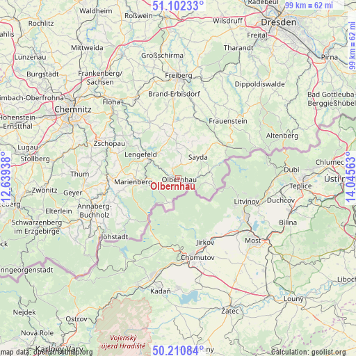
Olbernhau GPS coordinates[2]
50° 39' 31.32" North, 13° 20' 33" East
| Map corner | latitude | longitude |
|---|---|---|
| Upper-left | 51.10233°, | 12.63938° |
| Center: | 50.6587°, | 13.3425° |
| Lower-right: | 50.21084°, | 14.04563° |
| Map W x H: | 99.1×99.1 km | = 61.6×61.6mi |
| max Lat: | 55.01917° ⇑49% North |
| Olbernhau: | 50.6587° |
| min Lat: | ⇓51% South 47.40724° |
| min Long | Olbernhau | max Long |
| 5.92978° | 13.3425° | 14.98853° |
| W 94.7%⇐ | ⇒5.3% E |
Elevation
Elevation of Olbernhau is 454 m = 1490 ft, and this is 204.9 m = 672 ft above average elevation for this country.
| Max E: |
1256 m = 4121 ft | 16.9% |
| Olbernhau | 454 m 1490 ft | |
| Avg. | 249.1 m = 817 ft | |
Min E: |
-5 m = -16 ft | 83.1% |
See also: Germany elevation on elevation.city.
Geographical zone
Olbernhau is located in North temperate zone (between Tropic of Cancer and the Arctic Circle). Distance of this North polar circle is 1768.5 km =1098.9 mi to North.| Distance of | km | miles | from Olbernhau |
|---|---|---|---|
| North Pole | 4374.3 | 2718.1 | to North |
| Arctic Circle | 1768.5 | 1098.9 | to North |
| Tropic Cancer | 3026.8 | 1880.8 | to South |
| Equator | 5632.7 | 3500 | to South |


Nearby cities:
15 places around Olbernhau: (largest is in red/bold)
• Deutschneudorf
9.9 km =6.2 mi,  118°
118°
• Dorfchemnitz
14.2 km =8.8 mi,  32°
32°
• Großhartmannsdorf
15.7 km =9.8 mi,  357°
357°
• Großrückerswalde
16.2 km =10.1 mi,  259°
259°
• Heidersdorf
4.9 km =3 mi,  55°
55°
• Lengefeld
12.5 km =7.8 mi,  302°
302°
• Marienberg
12.8 km =8 mi,  265°
265°
• Neuhausen
9 km =5.6 mi,  77°
77°
• Pfaffroda
4.6 km =2.9 mi,  6°
6°
• Pobershau
9 km =5.6 mi, 257°
• Pockau
9 km =5.6 mi, 300°
• Rechenberg-Bienenmühle
16.2 km =10.1 mi, 57°
• Sayda
8.1 km =5 mi,  43°
43°
• Seiffen
7.6 km =4.7 mi,  97°
97°
• Zöblitz
7.9 km =4.9 mi, 270°
Sources, notices
• [Note1] Compared only with cities in Germany existing in our database
• [Src1] Map data: © OpenStreetMap contributors (CC-BY-SA)
• [Src2] Other city data from geonames.org with taken over terms of usage.
• [Src3] Geographical zone / Annual Mean Temperature by Robert A. Rohde @ Wikipedia
