Merchweiler geodata
Merchweiler (Saarland) is a seat of a fourth-order administrative division; located in Germany in Europe/Berlin (GMT+2) time zone. With population of 10,863 people, there are 1516 cities with bigger population in this country. Compared to other cities in Germany, 78% of cities are located further ↑North; 92.8% of cities are located further →East and 69.9% of cities have lower elevation than Merchweiler. Note1


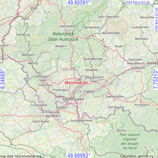
Merchweiler GPS coordinates[2]
49° 21' 0" North, 7° 3' 0" East
| Map corner | latitude | longitude |
|---|---|---|
| Upper-left | 49.80591°, | 6.34688° |
| Center: | 49.35°, | 7.05° |
| Lower-right: | 48.88982°, | 7.75313° |
| Map W x H: | 101.9×101.9 km | = 63.3×63.3mi |
| max Lat: | 55.01917° ⇑78% North |
| Merchweiler: | 49.35° |
| min Lat: | ⇓22% South 47.40724° |
| min Long | Merchweiler | max Long |
| 5.92978° | 7.05° | 14.98853° |
| W 7.2%⇐ | ⇒92.8% E |
Elevation
Elevation of Merchweiler is 357 m = 1171 ft, and this is 107.9 m = 354 ft above average elevation for this country.
| Max E: |
1256 m = 4121 ft | 30.1% |
| Merchweiler | 357 m 1171 ft | |
| Avg. | 249.1 m = 817 ft | |
Min E: |
-5 m = -16 ft | 69.9% |
See also: Germany elevation on elevation.city.
Geographical zone
Merchweiler is located in North temperate zone (between Tropic of Cancer and the Arctic Circle). Distance of this North polar circle is 1914 km =1189.3 mi to North.| Distance of | km | miles | from Merchweiler |
|---|---|---|---|
| North Pole | 4519.9 | 2808.5 | to North |
| Arctic Circle | 1914 | 1189.3 | to North |
| Tropic Cancer | 2881.3 | 1790.4 | to South |
| Equator | 5487.2 | 3409.6 | to South |


Nearby cities:
15 places around Merchweiler: (largest is in red/bold)
• Eppelborn
8.2 km =5.1 mi,  312°
312°
• Friedrichsthal
4.2 km =2.6 mi,  126°
126°
• Hangard
12.2 km =7.6 mi,  72°
72°
• Heusweiler
8.8 km =5.5 mi,  260°
260°
• Illingen
2.6 km =1.6 mi,  356°
356°
• Mainzweiler
8.9 km =5.5 mi,  33°
33°
• Marpingen
11.4 km =7.1 mi,  2°
2°
• Neunkirchen
9.5 km =5.9 mi,  93°
93°
• Ottweiler
10 km =6.2 mi,  55°
55°
• Quierschied
3.7 km =2.3 mi,  180°
180°
• Riegelsberg
10.1 km =6.3 mi,  236°
236°
• Sankt Ingbert
9.5 km =5.9 mi,  149°
149°
• Schiffweiler
6.3 km =3.9 mi, 72°
• Spiesen-Elversberg
7.1 km =4.4 mi,  121°
121°
• Sulzbach
5.7 km =3.5 mi,  174°
174°
Sources, notices
• [Note1] Compared only with cities in Germany existing in our database
• [Src1] Map data: © OpenStreetMap contributors (CC-BY-SA)
• [Src2] Other city data from geonames.org with taken over terms of usage.
• [Src3] Geographical zone / Annual Mean Temperature by Robert A. Rohde @ Wikipedia
