Medebach geodata
Medebach (North Rhine-Westphalia) is a populated place; located in Germany in Europe/Berlin (GMT+2) time zone. With population of 8,276 people, there are 1908 cities with bigger population in this country. Compared to other cities in Germany, 61.5% of cities are located further ↓South; 69% of cities are located further →East and 76.7% of cities have lower elevation than Medebach. Note1
Administrative division(s):
- Level 1: North Rhine-Westphalia
- Level 2: Regierungsbezirk Arnsberg
- Level 3: Hochsauerlandkreis
- Level 4: Medebach


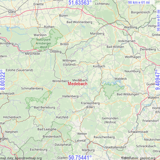
Medebach GPS coordinates[2]
51° 11' 49.668" North, 8° 42' 22.86" East
| Map corner | latitude | longitude |
|---|---|---|
| Upper-left | 51.63563°, | 8.00322° |
| Center: | 51.19713°, | 8.70635° |
| Lower-right: | 50.75441°, | 9.40947° |
| Map W x H: | 98×98 km | = 60.9×60.9mi |
| max Lat: | 55.01917° ⇑38.5% North |
| Medebach: | 51.19713° |
| min Lat: | ⇓61.5% South 47.40724° |
| min Long | Medebach | max Long |
| 5.92978° | 8.70635° | 14.98853° |
| W 31%⇐ | ⇒69% E |
Elevation
Elevation of Medebach is 410 m = 1345 ft, and this is 160.9 m = 528 ft above average elevation for this country.
| Max E: |
1256 m = 4121 ft | 23.3% |
| Medebach | 410 m 1345 ft | |
| Avg. | 249.1 m = 817 ft | |
Min E: |
-5 m = -16 ft | 76.7% |
See also: Germany elevation on elevation.city.
Geographical zone
Medebach is located in North temperate zone (between Tropic of Cancer and the Arctic Circle). Distance of this North polar circle is 1708.6 km =1061.7 mi to North.| Distance of | km | miles | from Medebach |
|---|---|---|---|
| North Pole | 4314.5 | 2680.9 | to North |
| Arctic Circle | 1708.6 | 1061.7 | to North |
| Tropic Cancer | 3086.7 | 1918 | to South |
| Equator | 5692.6 | 3537.2 | to South |


Nearby cities:
15 places around Medebach: (largest is in red/bold)
• Allendorf
18.7 km =11.6 mi,  187°
187°
• Battenberg
20.8 km =12.9 mi, 191°
• Brilon
23.9 km =14.9 mi,  336°
336°
• Bromskirchen
12.8 km =8 mi,  205°
205°
• Frankenau
19.7 km =12.2 mi,  126°
126°
• Frankenberg
16.7 km =10.4 mi,  156°
156°
• Hallenberg
11.3 km =7 mi, 212°
• Hemfurth-Edersee
24.4 km =15.2 mi,  95°
95°
• Korbach
14.5 km =9 mi,  53°
53°
• Olsberg
23.3 km =14.5 mi,  319°
319°
• Sachsenhausen
21.7 km =13.5 mi,  76°
76°
• Silbach
16 km =9.9 mi,  282°
282°
• Vöhl
16.7 km =10.4 mi,  86°
86°
• Willingen
12.7 km =7.9 mi,  327°
327°
• Winterberg
12 km =7.5 mi,  267°
267°
Sources, notices
• [Note1] Compared only with cities in Germany existing in our database
• [Src1] Map data: © OpenStreetMap contributors (CC-BY-SA)
• [Src2] Other city data from geonames.org with taken over terms of usage.
• [Src3] Geographical zone / Annual Mean Temperature by Robert A. Rohde @ Wikipedia
