Löbnitz geodata
Löbnitz (Saxony) is a seat of a fourth-order administrative division; located in Germany in Europe/Berlin (GMT+2) time zone. With population of 2,216 people, there are 4784 cities with bigger population in this country. Compared to other cities in Germany, 67.5% of cities are located further ↓South; 87.6% of cities are located further ←West and 70.9% of cities have higher elevation than Löbnitz. Note1


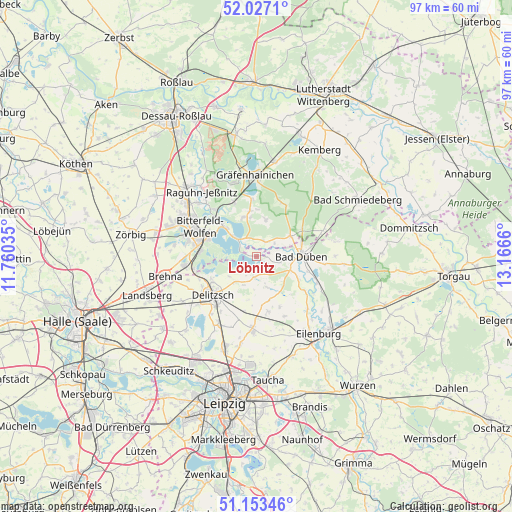
Löbnitz GPS coordinates[2]
51° 35' 32.568" North, 12° 27' 48.492" East
| Map corner | latitude | longitude |
|---|---|---|
| Upper-left | 52.0271°, | 11.76035° |
| Center: | 51.59238°, | 12.46347° |
| Lower-right: | 51.15346°, | 13.1666° |
| Map W x H: | 97.1×97.1 km | = 60.3×60.3mi |
| max Lat: | 55.01917° ⇑32.5% North |
| Löbnitz: | 51.59238° |
| min Lat: | ⇓67.5% South 47.40724° |
| min Long | Löbnitz | max Long |
| 5.92978° | 12.46347° | 14.98853° |
| W 87.6%⇐ | ⇒12.4% E |
Elevation
Elevation of Löbnitz is 86 m = 282 ft, and this is 163.1 m = 535 ft below average elevation for this country.
| Max E: |
1256 m = 4121 ft | 70.9% |
| Avg. | 249.1 m = 817 ft | |
| Löbnitz | 86 m = 282 ft | |
Min E: |
-5 m = -16 ft | 29.1% |
See also: Germany elevation on elevation.city.
Geographical zone
Löbnitz is located in North temperate zone (between Tropic of Cancer and the Arctic Circle). Distance of this North polar circle is 1664.6 km =1034.3 mi to North.| Distance of | km | miles | from Löbnitz |
|---|---|---|---|
| North Pole | 4270.5 | 2653.6 | to North |
| Arctic Circle | 1664.6 | 1034.3 | to North |
| Tropic Cancer | 3130.6 | 1945.3 | to South |
| Equator | 5736.5 | 3564.5 | to South |


Nearby cities:
15 places around Löbnitz: (largest is in red/bold)
• Bad Düben
8.4 km =5.2 mi,  90°
90°
• Bitterfeld-Wolfen
10.2 km =6.3 mi,  289°
289°
• Burgkemnitz
11 km =6.8 mi,  336°
336°
• Delitzsch
11.2 km =7 mi,  228°
228°
• Friedersdorf
9.2 km =5.7 mi,  312°
312°
• Gossa
8.7 km =5.4 mi,  351°
351°
• Gröbern
10.7 km =6.6 mi,  355°
355°
• Holzweißig
10.7 km =6.6 mi,  273°
273°
• Krina
7.1 km =4.4 mi,  13°
13°
• Mühlbeck
7.7 km =4.8 mi, 312°
• Pouch
5.5 km =3.4 mi, 308°
• Rösa
3.2 km =2 mi,  35°
35°
• Schköna
11.1 km =6.9 mi,  27°
27°
• Schlaitz
7.8 km =4.8 mi, 341°
• Schwemsal
7.5 km =4.7 mi,  59°
59°
Sources, notices
• [Note1] Compared only with cities in Germany existing in our database
• [Src1] Map data: © OpenStreetMap contributors (CC-BY-SA)
• [Src2] Other city data from geonames.org with taken over terms of usage.
• [Src3] Geographical zone / Annual Mean Temperature by Robert A. Rohde @ Wikipedia
