Langenbernsdorf geodata
Langenbernsdorf (Saxony) is a seat of a fourth-order administrative division; located in Germany in Europe/Berlin (GMT+2) time zone. With population of 3,968 people, there are 3320 cities with bigger population in this country. Compared to other cities in Germany, 53.4% of cities are located further ↓South; 86% of cities are located further ←West and 58.1% of cities have lower elevation than Langenbernsdorf. Note1


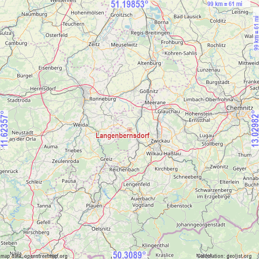
Langenbernsdorf GPS coordinates[2]
50° 45' 20.988" North, 12° 19' 36.084" East
| Map corner | latitude | longitude |
|---|---|---|
| Upper-left | 51.19853°, | 11.62357° |
| Center: | 50.75583°, | 12.32669° |
| Lower-right: | 50.3089°, | 13.02982° |
| Map W x H: | 98.9×98.9 km | = 61.5×61.5mi |
| max Lat: | 55.01917° ⇑46.6% North |
| Langenbernsdorf: | 50.75583° |
| min Lat: | ⇓53.4% South 47.40724° |
| min Long | Langenbernsdorf | max Long |
| 5.92978° | 12.32669° | 14.98853° |
| W 86%⇐ | ⇒14% E |
Elevation
Elevation of Langenbernsdorf is 279 m = 915 ft, and this is 29.9 m = 98 ft above average elevation for this country.
| Max E: |
1256 m = 4121 ft | 41.9% |
| Langenbernsdorf | 279 m 915 ft | |
| Avg. | 249.1 m = 817 ft | |
Min E: |
-5 m = -16 ft | 58.1% |
See also: Germany elevation on elevation.city.
Geographical zone
Langenbernsdorf is located in North temperate zone (between Tropic of Cancer and the Arctic Circle). Distance of this North polar circle is 1757.7 km =1092.2 mi to North.| Distance of | km | miles | from Langenbernsdorf |
|---|---|---|---|
| North Pole | 4363.5 | 2711.4 | to North |
| Arctic Circle | 1757.7 | 1092.2 | to North |
| Tropic Cancer | 3037.6 | 1887.5 | to South |
| Equator | 5643.5 | 3506.7 | to South |


Nearby cities:
15 places around Langenbernsdorf: (largest is in red/bold)
• Braunichswalde
9.2 km =5.7 mi,  302°
302°
• Crimmitschau
8.1 km =5 mi,  33°
33°
• Fraureuth
6.4 km =4 mi,  165°
165°
• Gauern
9.4 km =5.8 mi,  288°
288°
• Hartmannsdorf
7.1 km =4.4 mi,  88°
88°
• Heukewalde
9.6 km =6 mi,  333°
333°
• Jonaswalde
8.8 km =5.5 mi,  347°
347°
• Leubnitz
4.2 km =2.6 mi,  149°
149°
• Lichtentanne
9.9 km =6.2 mi,  135°
135°
• Neukirchen
6.5 km =4 mi,  38°
38°
• Seelingstädt
6.1 km =3.8 mi, 287°
• Teichwolframsdorf
6.8 km =4.2 mi,  235°
235°
• Thonhausen
8.6 km =5.3 mi,  355°
355°
• Weißenborn
10.3 km =6.4 mi,  100°
100°
• Werdau
4.1 km =2.5 mi,  122°
122°
Sources, notices
• [Note1] Compared only with cities in Germany existing in our database
• [Src1] Map data: © OpenStreetMap contributors (CC-BY-SA)
• [Src2] Other city data from geonames.org with taken over terms of usage.
• [Src3] Geographical zone / Annual Mean Temperature by Robert A. Rohde @ Wikipedia
