Hartmannsdorf geodata
Hartmannsdorf (Saxony) is a populated place; located in Germany in Europe/Berlin (GMT+2) time zone. With population of 1,462 people, there are 5953 cities with bigger population in this country. Compared to other cities in Germany, 53.4% of cities are located further ↓South; 87.3% of cities are located further ←West and 62.9% of cities have lower elevation than Hartmannsdorf. Note1


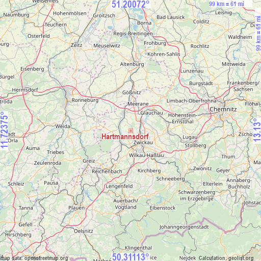
Hartmannsdorf GPS coordinates[2]
50° 45' 28.944" North, 12° 25' 36.732" East
| Map corner | latitude | longitude |
|---|---|---|
| Upper-left | 51.20072°, | 11.72375° |
| Center: | 50.75804°, | 12.42687° |
| Lower-right: | 50.31113°, | 13.13° |
| Map W x H: | 98.9×98.9 km | = 61.5×61.5mi |
| max Lat: | 55.01917° ⇑46.6% North |
| Hartmannsdorf: | 50.75804° |
| min Lat: | ⇓53.4% South 47.40724° |
| min Long | Hartmannsdorf | max Long |
| 5.92978° | 12.42687° | 14.98853° |
| W 87.3%⇐ | ⇒12.7% E |
Elevation
Elevation of Hartmannsdorf is 308 m = 1010 ft, and this is 58.9 m = 193 ft above average elevation for this country.
| Max E: |
1256 m = 4121 ft | 37.1% |
| Hartmannsdorf | 308 m 1010 ft | |
| Avg. | 249.1 m = 817 ft | |
Min E: |
-5 m = -16 ft | 62.9% |
See also: Germany elevation on elevation.city.
Geographical zone
Hartmannsdorf is located in North temperate zone (between Tropic of Cancer and the Arctic Circle). Distance of this North polar circle is 1757.4 km =1092 mi to North.| Distance of | km | miles | from Hartmannsdorf |
|---|---|---|---|
| North Pole | 4363.3 | 2711.2 | to North |
| Arctic Circle | 1757.4 | 1092 | to North |
| Tropic Cancer | 3037.8 | 1887.6 | to South |
| Equator | 5643.8 | 3506.9 | to South |


Nearby cities:
15 places around Hartmannsdorf: (largest is in red/bold)
• Crimmitschau
7 km =4.3 mi,  338°
338°
• Dennheritz
6.8 km =4.2 mi,  23°
23°
• Fraureuth
8.4 km =5.2 mi,  219°
219°
• Glauchau
10.8 km =6.7 mi,  50°
50°
• Langenbernsdorf
7.1 km =4.4 mi,  268°
268°
• Leubnitz
6.3 km =3.9 mi,  231°
231°
• Lichtentanne
7.3 km =4.5 mi,  180°
180°
• Meerane
10.2 km =6.3 mi, 15°
• Mülsen
9.9 km =6.2 mi,  95°
95°
• Neukirchen
5.7 km =3.5 mi,  328°
328°
• Ponitz
11.1 km =6.9 mi,  358°
358°
• Weißenborn
3.7 km =2.3 mi,  123°
123°
• Werdau
4.4 km =2.7 mi,  235°
235°
• Wilkau-Haßlau
11.1 km =6.9 mi,  146°
146°
• Zwickau
5.5 km =3.4 mi,  128°
128°
Sources, notices
• [Note1] Compared only with cities in Germany existing in our database
• [Src1] Map data: © OpenStreetMap contributors (CC-BY-SA)
• [Src2] Other city data from geonames.org with taken over terms of usage.
• [Src3] Geographical zone / Annual Mean Temperature by Robert A. Rohde @ Wikipedia
