Gauern geodata
Gauern (Thuringia) is a seat of a fourth-order administrative division; located in Germany in Europe/Berlin (GMT+2) time zone. With population of 156 people, there are 10659 cities with bigger population in this country. Compared to other cities in Germany, 53.8% of cities are located further ↓South; 84.6% of cities are located further ←West and 68.1% of cities have lower elevation than Gauern. Note1


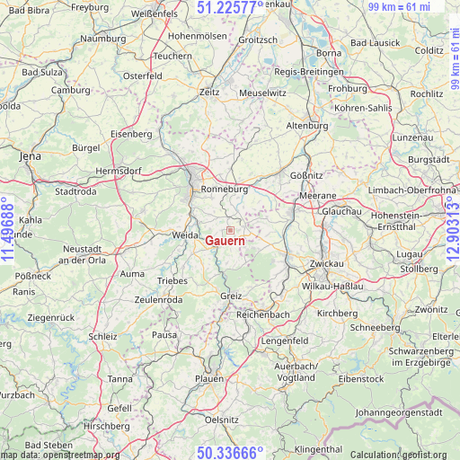
Gauern GPS coordinates[2]
50° 46' 59.988" North, 12° 12' 0" East
| Map corner | latitude | longitude |
|---|---|---|
| Upper-left | 51.22577°, | 11.49688° |
| Center: | 50.78333°, | 12.2° |
| Lower-right: | 50.33666°, | 12.90313° |
| Map W x H: | 98.9×98.9 km | = 61.5×61.5mi |
| max Lat: | 55.01917° ⇑46.2% North |
| Gauern: | 50.78333° |
| min Lat: | ⇓53.8% South 47.40724° |
| min Long | Gauern | max Long |
| 5.92978° | 12.2° | 14.98853° |
| W 84.6%⇐ | ⇒15.4% E |
Elevation
Elevation of Gauern is 343 m = 1125 ft, and this is 93.9 m = 308 ft above average elevation for this country.
| Max E: |
1256 m = 4121 ft | 31.9% |
| Gauern | 343 m 1125 ft | |
| Avg. | 249.1 m = 817 ft | |
Min E: |
-5 m = -16 ft | 68.1% |
See also: Germany elevation on elevation.city.
Geographical zone
Gauern is located in North temperate zone (between Tropic of Cancer and the Arctic Circle). Distance of this North polar circle is 1754.6 km =1090.3 mi to North.| Distance of | km | miles | from Gauern |
|---|---|---|---|
| North Pole | 4360.5 | 2709.5 | to North |
| Arctic Circle | 1754.6 | 1090.3 | to North |
| Tropic Cancer | 3040.7 | 1889.4 | to South |
| Equator | 5646.6 | 3508.6 | to South |


Nearby cities:
15 places around Gauern: (largest is in red/bold)
• Berga
4.3 km =2.7 mi,  215°
215°
• Braunichswalde
2.2 km =1.4 mi,  32°
32°
• Endschütz
4.5 km =2.8 mi,  275°
275°
• Heukewalde
7.3 km =4.5 mi,  40°
40°
• Hilbersdorf
5.1 km =3.2 mi,  316°
316°
• Hohenölsen
9.3 km =5.8 mi,  239°
239°
• Jonaswalde
9 km =5.6 mi,  51°
51°
• Neugernsdorf
8.8 km =5.5 mi,  212°
212°
• Paitzdorf
7.5 km =4.7 mi,  8°
8°
• Ronneburg
9 km =5.6 mi,  353°
353°
• Rückersdorf
4.5 km =2.8 mi,  18°
18°
• Seelingstädt
3.3 km =2.1 mi,  111°
111°
• Teichwitz
9 km =5.6 mi,  245°
245°
• Teichwolframsdorf
7.7 km =4.8 mi,  154°
154°
• Wünschendorf
7.3 km =4.5 mi, 281°
Sources, notices
• [Note1] Compared only with cities in Germany existing in our database
• [Src1] Map data: © OpenStreetMap contributors (CC-BY-SA)
• [Src2] Other city data from geonames.org with taken over terms of usage.
• [Src3] Geographical zone / Annual Mean Temperature by Robert A. Rohde @ Wikipedia
